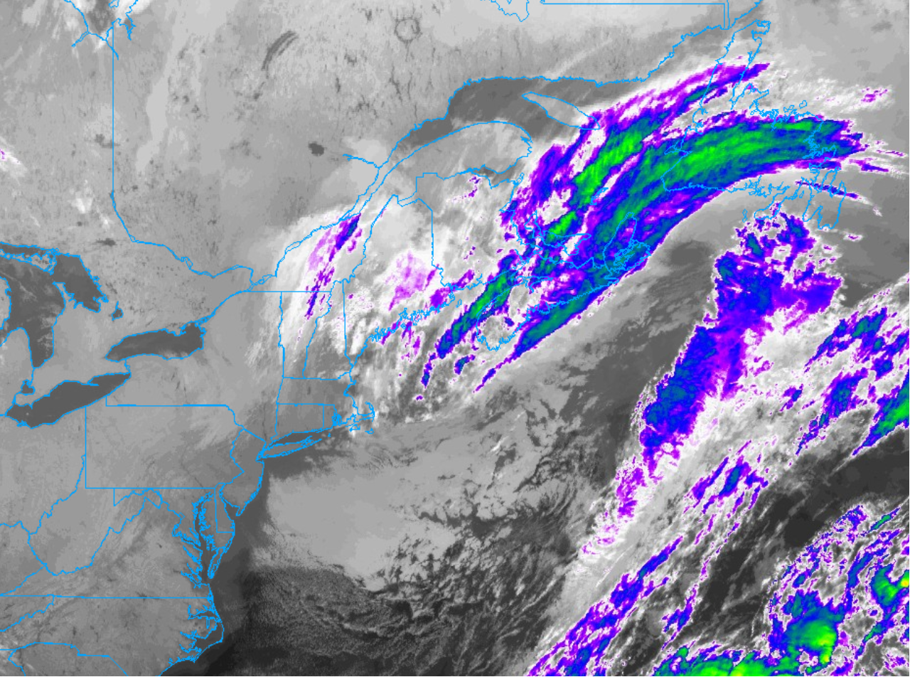
The weekend storm center that brought us a wet Saturday and a windy and cooler Sunday is still impacting our weather as we start the work week. The large storm is spinning in place to our east today, gradually weakening and wobbling seaward away from New England.
Overnight, one last spoke of moisture rotated around the western side of the storm’s circulation and that pocket of moisture and energy is yielding some showers first thing Monday morning. While the wet weather won’t stick around, today isn’t exactly shaping up to be a beautiful day weather-wise. Clouds will be tough to shake and a gusty north wind will persist through a good chunk of the day. That, combined with temperatures holding under 60F, will make for a cool and sort of gray day around the area.
All that said, the storm center in question is being forced eastward by rising upper level heights and strengthening surface high pressure over the Mid-Atlantic and Southeast. It’s this area of high pressure that will lock in place for the remainder of the work week and bring a really nice stretch of late October weather to the region. We can expect a good deal of sunshine and much milder air during the second half of the week.

