A series of fast-moving frontal zones (initially a warm front and then a cold front) will cross the area today and tonight, bringing us a brief period of unsettled weather this morning followed by some noticeable temperature changes over the next 24 hours.
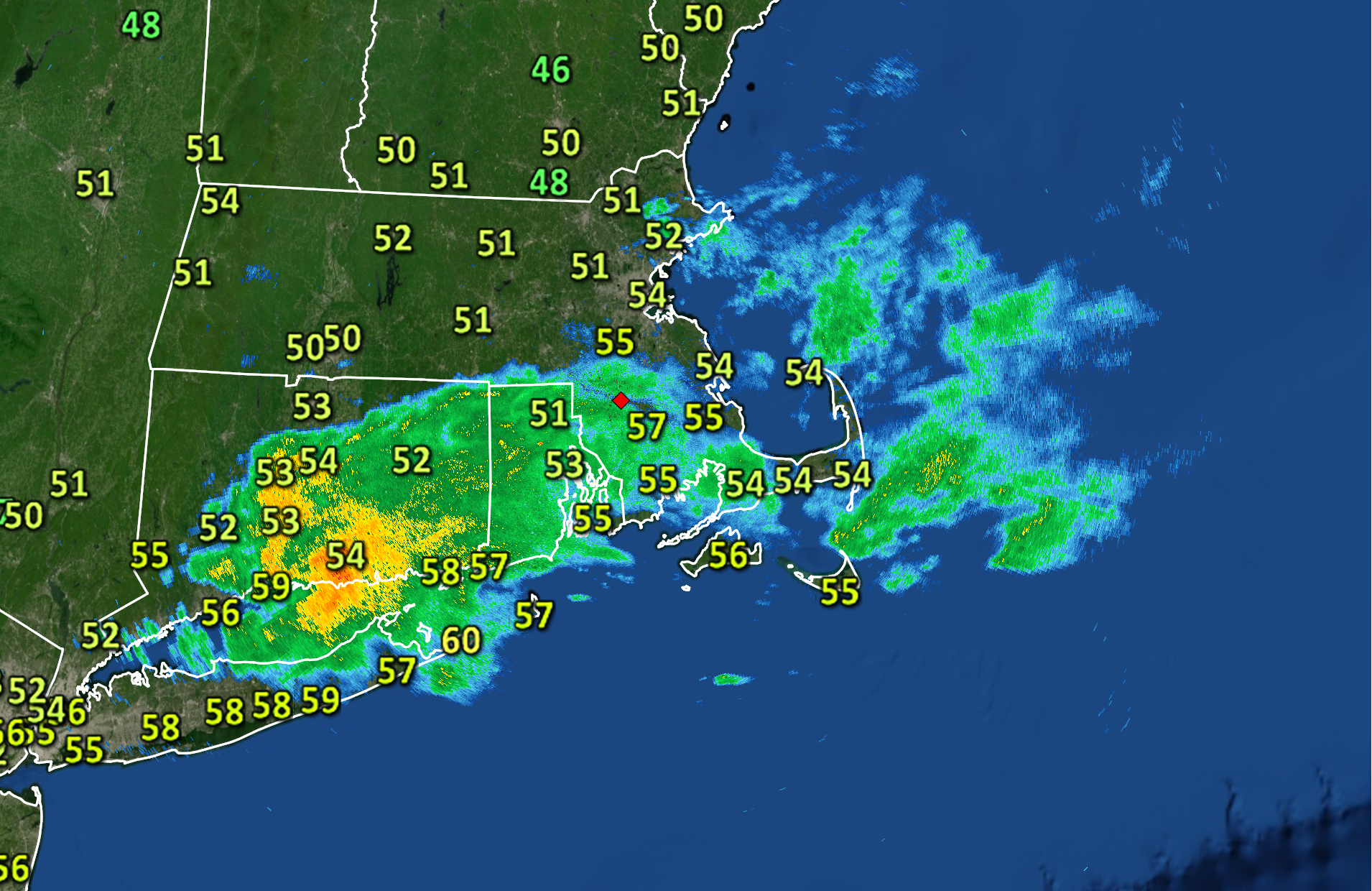
Radar imagery this morning showers a batch of showers moving from west to east across southern portions of Southern New England. As of 6AM, the most concentrated area of rain was over Connecticut and this pocket of wet weather was sliding eastward toward our area. With that in mind, we can expect a gray and damp start to our Tuesday with showers moving in and out of the area throughout the morning.
The good news is, behind this morning’s gray and damp start, clearing skies are expected and temperatures will jump to the lower 60s this afternoon as a small wedge of mild air pushes into the area ahead of an advancing cold front. The second half of the day should be quite nice.
Unfortunately, the warmth will be relatively short-lived as colder air will sweep into the area behind the aforementioned cold front, accompanied by gusty northwest winds. Wednesday will be a solid 10-15F cooler than today…with highs in the 45 to 50F range.