A weak weather system (low pressure cutting across the Great Lakes and Northern New England and its associated frontal zones) will pass through the Northeast and New England today, yielding a lot of cloud cover and the threat for a shower or two.
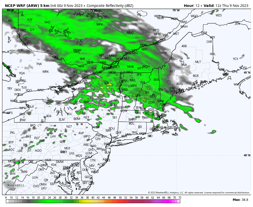
Radar imagery first thing Thursday morning showed widespread precipitation over Central and Northern New England but very little in the way of activity over Southern New England. Surface observations mirrored the radar imagery, with generally overcast skies across Southern New England but pockets of light snow and rain reported over Vermont and New Hampshire. In our neck of the woods, skies were overcast and temperatures were in the upper 30s to around 40F.
As we push through the day today, clouds will lower and thicken up a bit across Southern New England and our odds for a touch of wet weather will go up. Expect a few sprinkles and showers to develop over the area during the midday and afternoon hours as the system’s associated frontal zones (a warm front trying to lift northward and a cold front pushing in from the west) converge on the area. This can be seen nicely on the simulated radar image above.