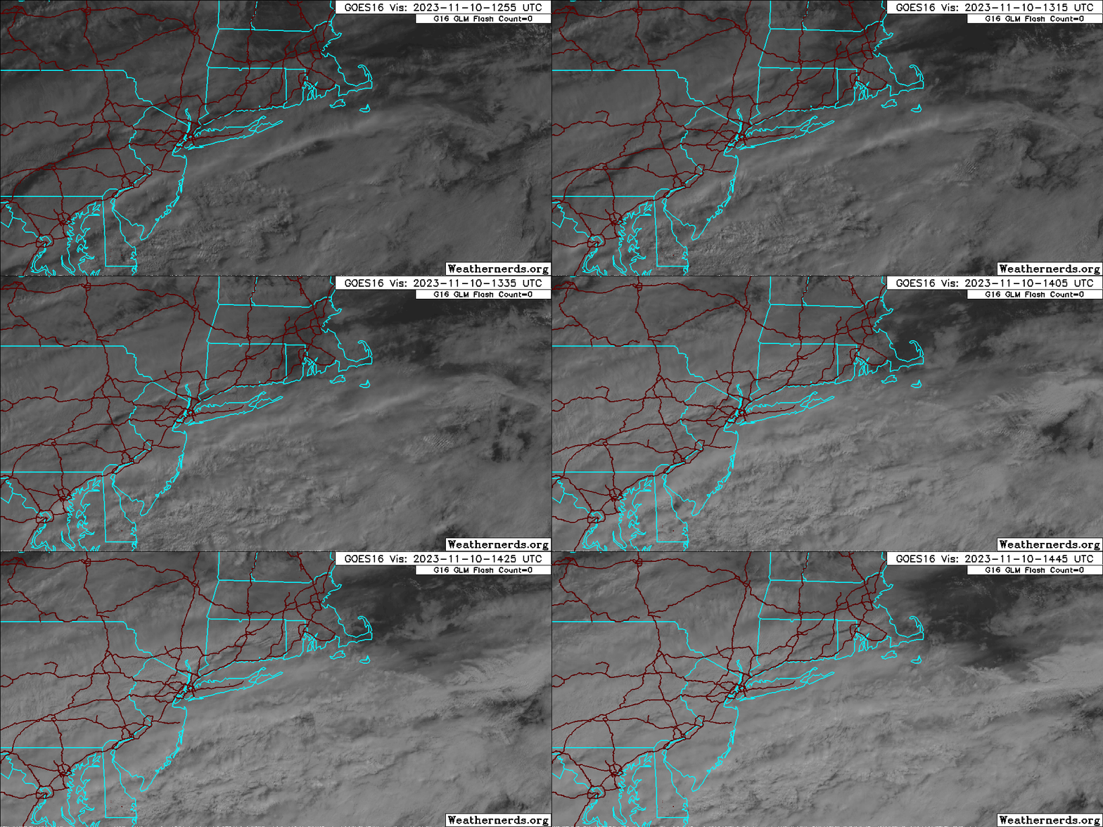
A cold front slid through the region yesterday and has pushed southward into the Mid-Atlantic today. Unfortunately, while we might normally expect clearing skies in such a scenario, a wave of low pressure has formed along the boundary and is slowing the clearing process. In fact, upper level moisture is streaming back northward into the area and a shield of steady rain is not too far to our south.
The good news is the brunt of the deeper moisture is heading more eastward than northward and as such the storm’s rain shield will remain just far enough to our south to keep our Friday rain-free. The bad news is, skies will average out mostly cloudy today as a thick band of mid and high level clouds streams overhead throughout most of the daylight hours.
Temperatures will climb to the lower and middle 50s and a gusty west wind will persist through the day. Cooler air will build in over the weekend.

