Chilly high pressure built into the region yesterday and set the stage for (our first of the season) some ocean effect cloud cover and perhaps a flurry or two today.
While Saturday saw plenty of sunshine through the day, temperatures only topped out around 50F and a busy north and northwest wind added a distinct chill to the air. Colder air, both at the surface and aloft, deepened over the area last night as winds bent around to a more northerly direction, sending temperatures down into the upper 20s and lower 30s across most of the Cape.
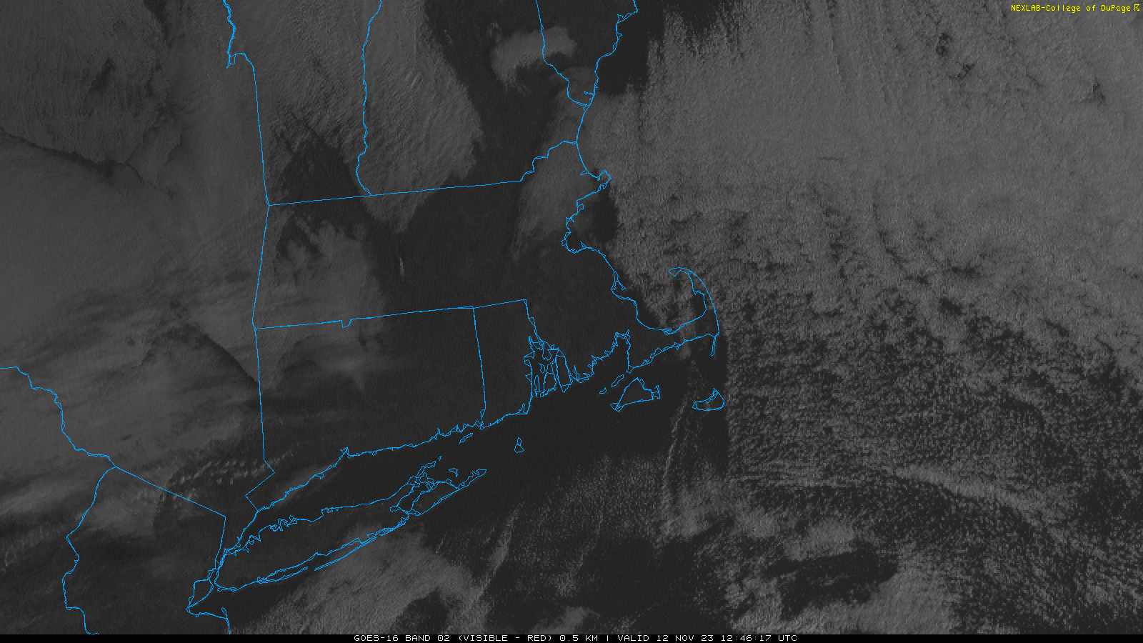
While Sunday dawned clear, calm and cold, low clouds were streaming southward from the Gulf of Maine, as seen nicely in the visible satellite loop above. These “ocean effect” clouds form in response to cold air moving over the mild ocean, not atypical for the winter season. With that in mind, as we move through the day today, expect cloud cover to win out…especially on the Mid and Outer Cape…as chilly air continues to pass over the water. In fact, we may see a passing flurry or sprinkle around parts of the Cape.