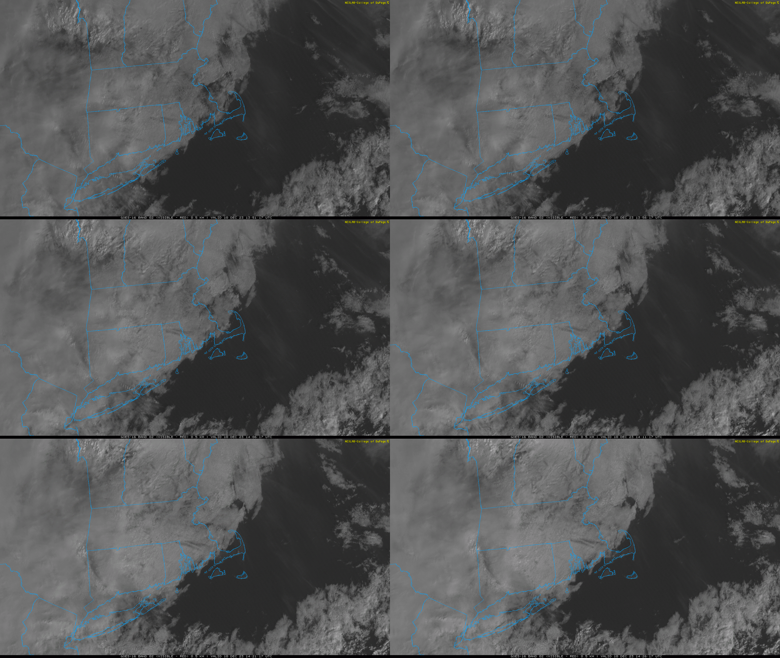
Our Sunday has started off sunny and mild with temperatures near 50F. Based on visible satellite imagery from this morning (shown above), the Cape is lucking out and we’ll enjoy several more hours of nice weather through the morning hours. Clouds will eventually win out as skies fill in during midday and early afternoon. A shower could move into the region during the second half of the day. Temperatures will continue to tick upward, reaching the middle and upper 50s. Enjoy it!
Things go downhill in a big way tonight and especially tomorrow.
A storm system pressing into the region will yield a 12 to 18 hour period of rain beginning tonight and continuing into mid to late morning Monday. A few embedded downpours are a good bet and there could even be a crack of thunder or two.
In addition to the rain, strong southerly winds are expected late tonight into the first part of Monday. Southerly winds will gradually increase through the day today, becoming a gusty southerly breeze by evening. Wind speeds will continue to climb during the nighttime hours, likely gusting to 40 mph toward midnight.
The peak of the winds will come during the first part of Monday morning…when sustained speeds of 25 to 40 mph are likely and gusts routinely pass 50 mph. There will be a short window of time, sometime between about 5 AM and 10 AM when wind gusts over 60 mph will be possible. In fact, some exposed shoreline locations could approach 70 mph.
Some pockets of limb/tree damage are expected and there could be a few power outages around the area. Things will quiet down dramatically during midday.

