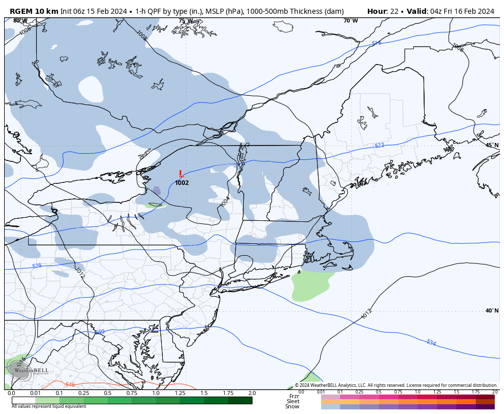
A fast moving low pressure system will pass through the Great Lakes today and race eastward across New England tonight. While this system is fairly moisture starved it does have a fair amount of upper level “energy” tied to it – as such it’ll spread a shield of snow across New England as it moves through the region overnight – with the steadiest of that precipitation focused over central and northern parts of New England. Here on the Cape, we should see several hours of steady light to moderate snow during the late evening to overnight hours, followed by a transition to some light rain and sprinkles as slightly milder air gets drawn into the system. Precipitation will end during the overnight hours, but there could be an inch or so of snow around the area. It’ll turn colder and very windy behind the “storm”, with northwest winds gusting 40 to 50 mph Friday morning.

