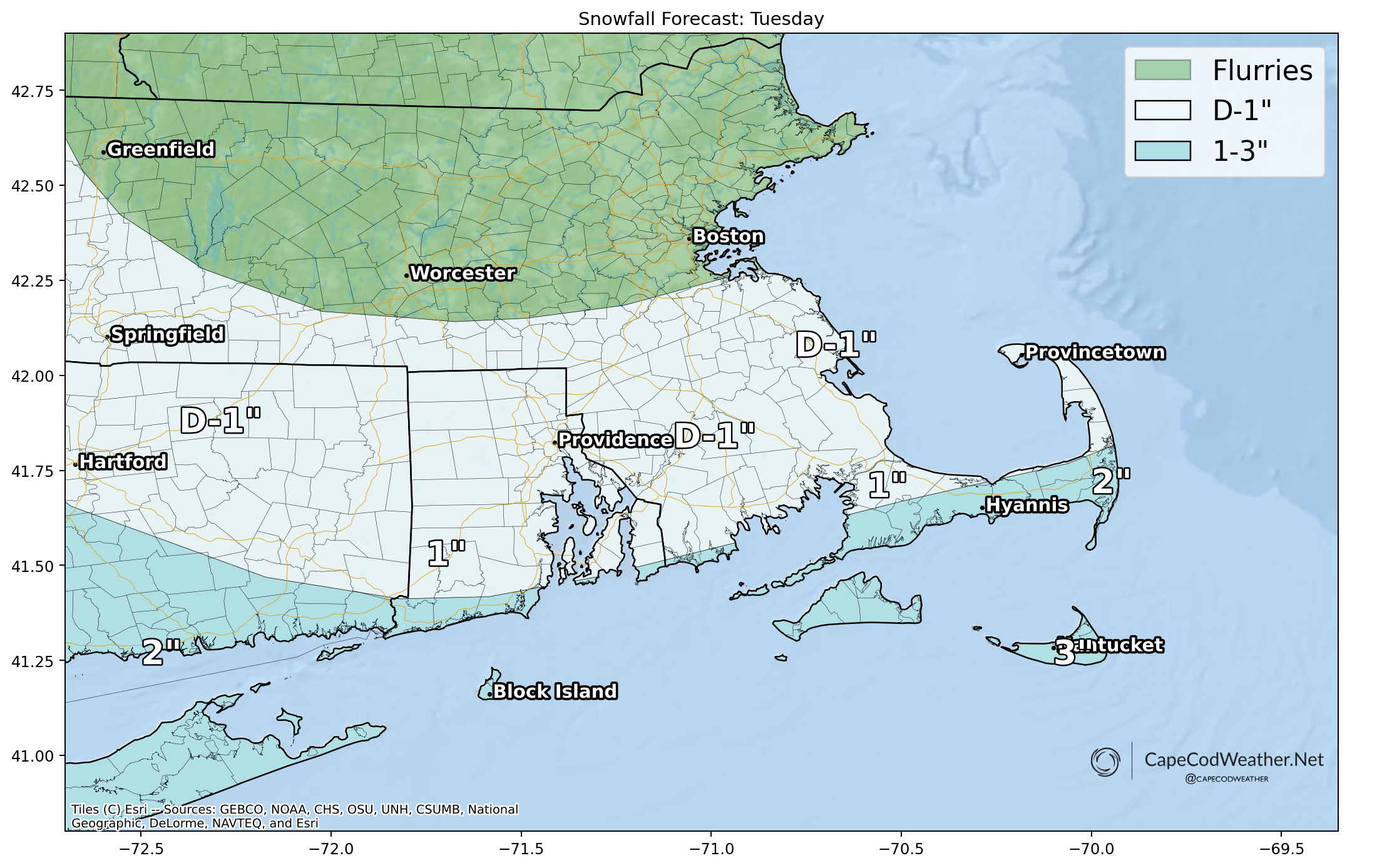
Low pressure moving through the Mid-Atlantic tonight will pass well south of Cape Cod tomorrow. The brunt of this system’s moisture will remain out over the ocean south of New England, but the Cape and Islands will be on the far northern edge of the precipitation shield. We are likely to squeeze out some periods of (mainly light) snow throughout the day on Saturday, with the steadiest of that confined to the southern side of the Cape. In fact, the best bet for getting a “plowable” snowfall out of this event will be out on Nantucket, where a few inches of fluffy snow are possible. Locally, the best bet for seeing a couple of inches is out near Chatham…with the lowest odds on the far Outer Cape from Truro to P-town.

