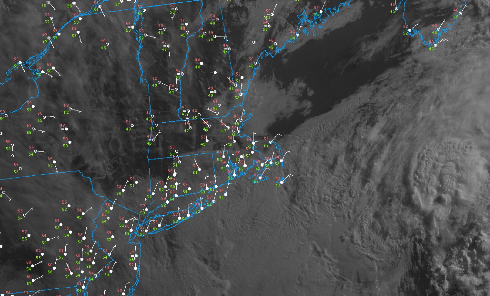
A slow moving upper level low pressure center and its associated surface low pressure are spinning in place to our southeast today (and will remain a player in or weather through the weekend). The counterclockwise flow of air around that system is producing a persistent northeast wind and pinwheeling moisture in off the ocean. As a result – and we know the drill here on the Cape – our Friday will feature cooler than average temperatures, busy northeast winds and an abundance of cloud cover. While some pockets of dry air may mean some holes in the overcast here and there at times, the general theme for the day will be cool and gray conditions. Additional moisture will pivot into the area tonight and Saturday, yielding the threat for some showers and patchy drizzle as well.

