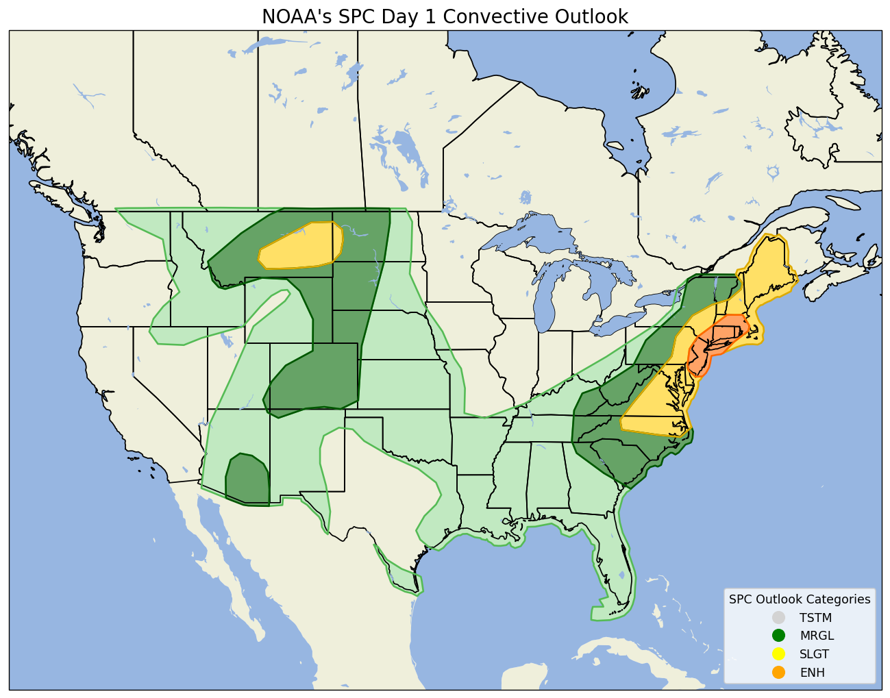
A warm and muggy air mass invaded the region overnight and was accompanied by some showers and rumbles of thunder late last night into first thing this morning. That round of activity is gradually shifting seaward and skies will brighten this morning with hopefully some partial sunshine developing from midday into the afternoon – though a warm, muggy southwest wind will make it tough to completely scour out the low cloud cover and fog.
Later this afternoon a cold front sliding southeastward across the region will fire off a second round of showers and storms, and this activity will approach the Cape during the evening and nighttime hours. It’s likely we’ll see some gusty thunderstorms around parts of the area and there could be some loud cracks of thunder around.
There is a small threat for a severe thunderstorm or two here on the Cape…and likely a few Special Marine Warnings so boaters will certainly want to monitor the weather this evening.
As shown above, the National Weather Service’s Storm Prediction Center has highlighted our region for a slight risk of severe weather…with a higher likelihood off-Cape.

