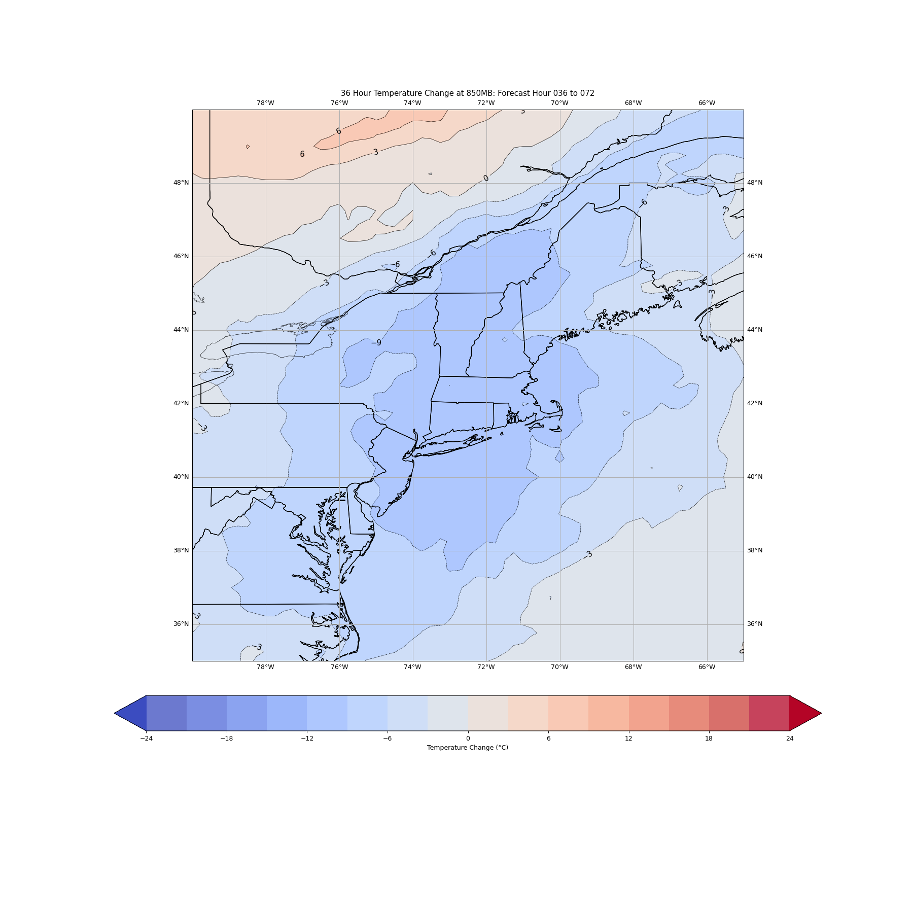
Yesterday was a cool day around the area but the “chill” in the air was the result of cloud cover and light onshore flow. The air mass itself is actually fairly warm and would have yielded highs near 80F had we managed some meaningful sunshine. So while temperatures only topped out at 70F – it was sort of a “fake chilly”. Be that as it may, we’ll get our first real taste of September-like weather during the week ahead as a pocket of cool air drops southward out of Canada and yields some rather chilly temperatures (by August standards). Temperatures aloft will cool substantially between Monday and Wednesday, indicative of the air mass change – as illustrated in the image above which shows temperatures at 850mb (call it 5,000 ft above ground) losing about 10 degrees C from Monday evening to Wednesday evening. At the surface, that will yield daytime temperatures around 70F despite a decent amount of sunshine on Wednesday!