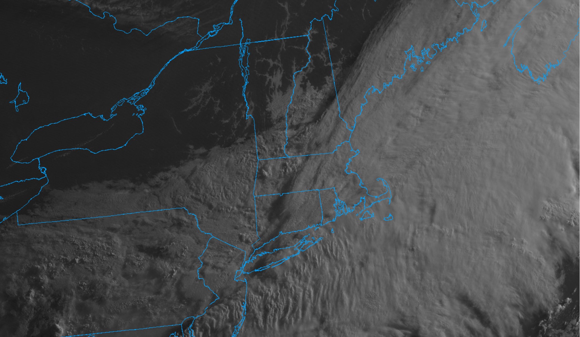
Wednesday has started gray, damp, a little chilly and rather breezy. The culprit behind the ugly morning is a weak low pressure area sliding by to our south along a stationary front. The frontal zone and associated wave of low pressure have locked in a gusty northeast wind and cool temperatures and delivered a few rounds of wet weather. However, a look at visible satellite imagery reveals some drier air off to our north and west and this drier air is gradually pressing southward. The result will be some slow improvement through the day today. After a murky and chilly early morning, with intermittent showers and drizzle, drier air will begin to make inroads into the area during midday and especially this afternoon. As a result clouds will start to lift and thin and we should see at least some partial clearing later in the day. It will, unfortunately, remain rather cool with the persistent onshore breeze – so not exactly beach weather this afternoon.

