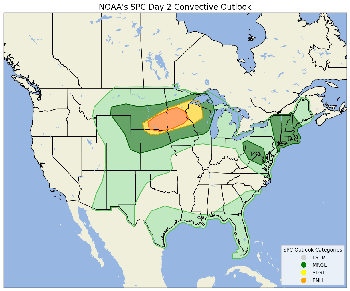
A pocket of cold air aloft will rotate southward across the region on Monday, timing out well with daytime heating, and is likely to yield numerous showers and thunderstorms across Southern New England. This wet weather will likely impact the Cape during Monday afternoon and evening and there’s likely to a stronger t-storm or two embedded in the activity. The NWS’s Storm Prediction Center does have the region highlighted for a marginal risk of severe storms. Keep an eye to the sky and the radar throughout Monday.

