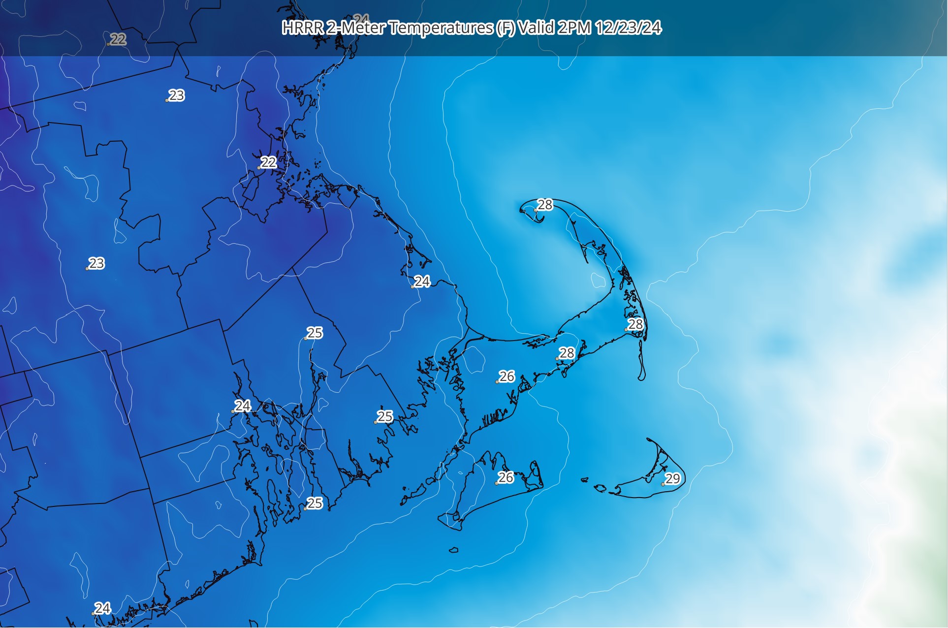
Mid-winter cold pushed in to the region on Friday and really took hold on Saturday and Saturday night. Readings dropped into the 10s Saturday night and held in the lower 20s throughout most of Sunday. Hyannis, for example, recorded a daytime high of just 22F(!!) – which was 22F below the average for the date (44F). While the deepest of the cold is shifting out of the region, we can expect another unseasonably cold day today. Afternoon temperatures will struggle to get back to 30F. Thankfully, less wind and some developing sunshine will help offset the cold. The image above is from the HRRR (High Resolution Rapid Refresh) Model and shows forecast temperatures at 2PM today. Plenty cold!

