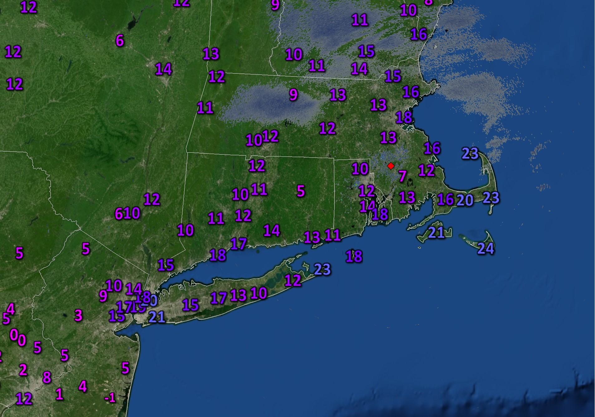
Temperatures dropped below freezing Sunday night and have since been stuck in the single digits, teens and twenties. Last night, temperatures plummeted near and after sundown as clear skies and light winds allowed for nearly perfect radiational cooling. Single digits were common around the Cape during the first part of the night. However, clouds built back into the area overnight and a light wind developed, pushing readings back into the 10s and lower 20s (and that’s where we’ve started our Thursday as shown above). A slight moderation in the air mass today will allow temperatures to get back toward 30F and there’s a chance some spots will break the freezing mark for a short time this afternoon. The tradeoff will be an abundance of cloud cover and likely a few flurries and pockets of light snow here and there.
The average high for the date is in the upper 30s. We should finally near that level during the second part of the weekend and into early next week as the core the cold shifts away – at least temporarily.