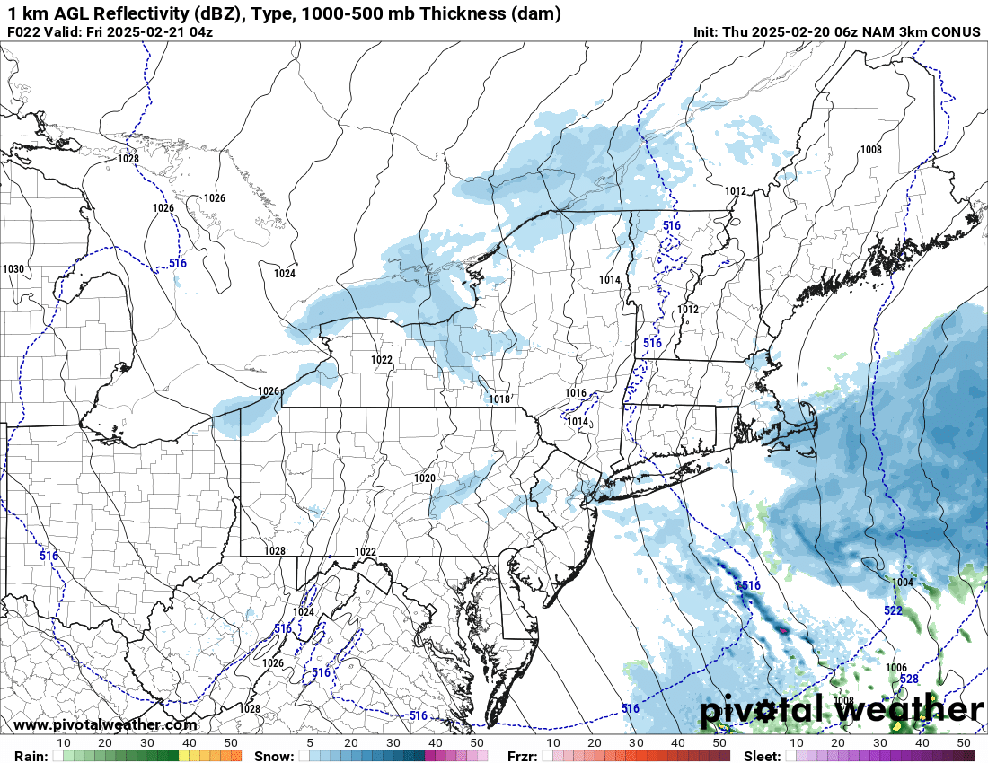
A strong low pressure area will pass well south and east of the Cape today and tonight, sparing us from any major impacts. However the combination of the storm’s northern edge, a subtle wind shift to the north and northeast, and some upper level energy sliding overhead behind this system will likely be enough to produce a bit of snow shower activity later Thursday and into Thursday night. Right now, this doesn’t look like a big deal at all…the only thing to watch for will be if any heavier bursts of ocean-enhanced snow are able to pop up for a time tonight, which could make for some slick roads.

