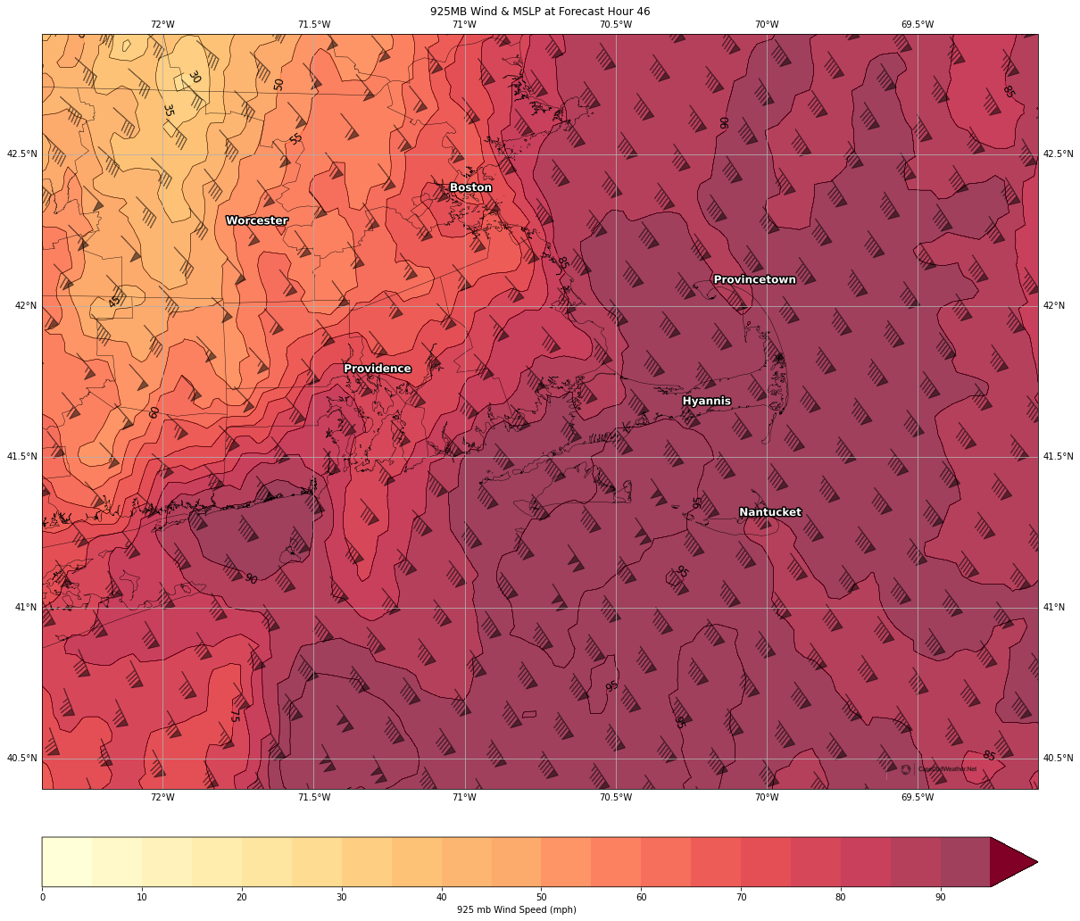
Strengthening low pressure will ride northward up the Eastern Seaboard today and tomorrow – bringing with it a widespread heavy rain (virtually no snow with this system across the eastern half of the United States) and a period of very strong southeast winds.
Model guidance is in very good agreement that a powerful “low level jet” will cross the region during the day on Monday, with winds aloft approaching 100 mph only a couple of thousand feet above ground level (not a good day for flying!). Thankfully, the majority of that powerhouse jet will remain above the ground, sparing us a major damaging wind storm.
Even so, frequent wind gusts in excess of 50 mph are likely across the Cape and isolated to scattered gusts between 60 and 70 mph are expected. Winds of this magnitude will bring pockets of limb and tree damage and likely some power disruptions throughout the day.

