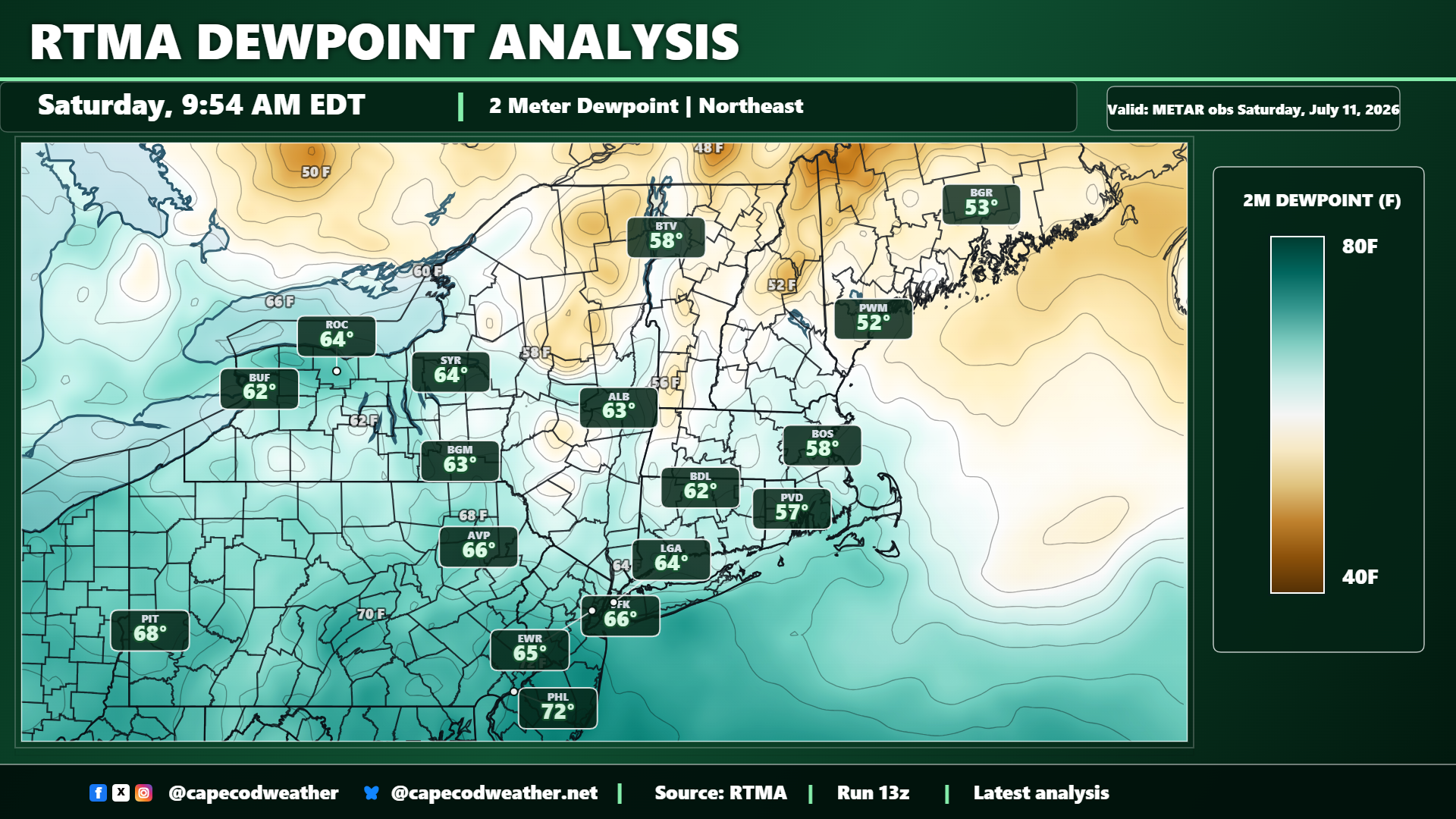
Humidity levels rose during the second half of the work week and worked together with daytime temperatures in the 80s to produce a couple of steamy days Thursday and Friday. Fortunately, a southward moving frontal zone moved through the area Friday and Friday night, swinging winds around to the north as a cooler and drier Canadian air mass pushed into the region. That comfortable air is working its way into our area today and will remain in place through Monday, yielding a really nice stretch of mid-summer weather. Leftover high thin clouds, which are dimming the sun this morning, will shift seaward during the midday hours of Saturday and skies will turn sunny for the second half of the day. Generally clear skies will persist through Sunday and into early next week. Dew point values will gradually drop today and hold in the 50s for the next couple of days…equating to some nice, comfortable conditions!