The same upper level blocking pattern that spared us from a soaking rain all weekend will yield a bit of an unsettled start to the work week.
Moisture spinning around an upper level storm center that’s stuck in place to our north and east will linger over the region today and Tuesday, before slowly releasing its grip on our weather during midweek.
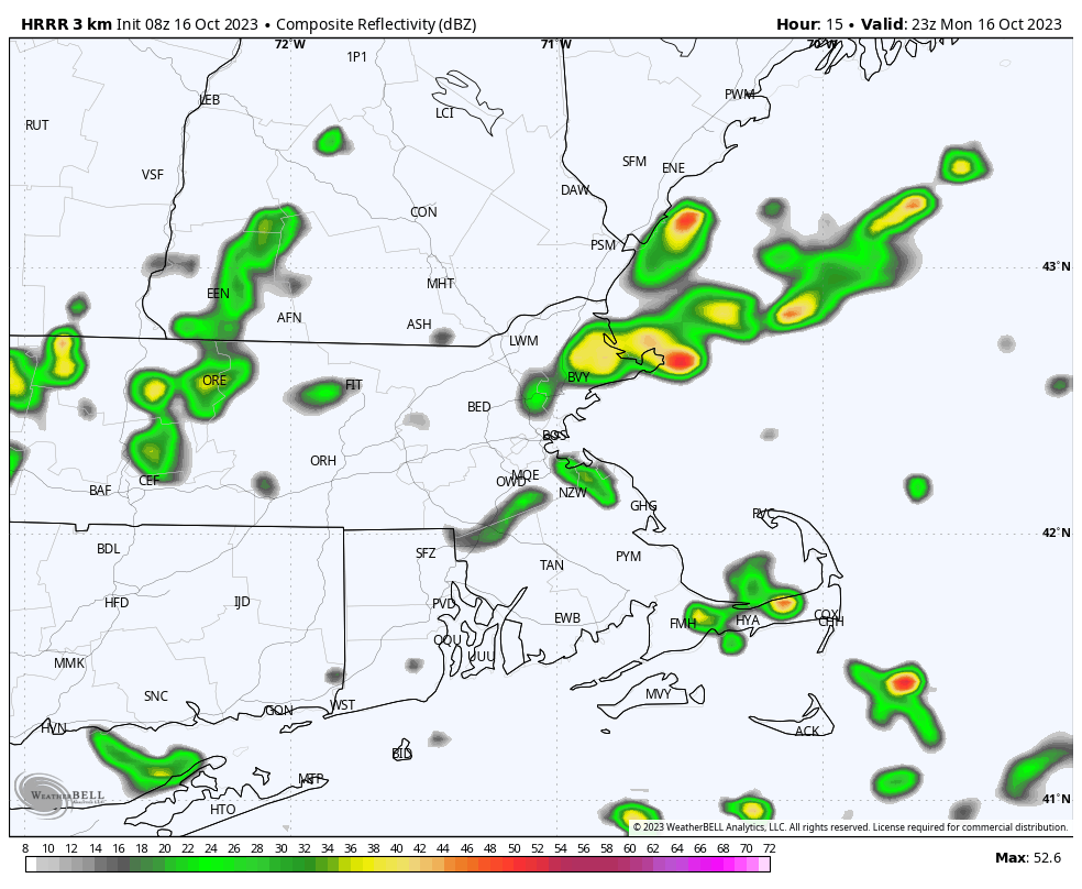
The result will be a lot of cloud cover rotating southward across the area as well as some passing showers now and then. While dry periods should outnumber the wet ones, it’s likely that just about everyone sees at least a brief passing shower or quick downpour at some point over the next 48 hours.
As an example, the HRRR simulated radar shows one such shower passing over the region this evening.

