A cold front is pushing eastward across the nation and will approach our area Saturday, crossing the region Saturday night and sweeping offshore thereafter. Behind this frontal boundary, much cooler air is building south and eastward and this air mass will take hold of our weather Sunday and Monday.
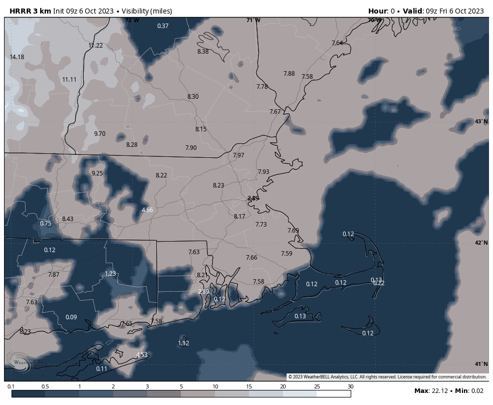
However, before the chillier, Fall-feel, we’ll squeeze in one last nice day today. While the morning has dawned gray and quite foggy, low cloudiness should gradually thin out and give way to at least some partial sunshine today. Temperatures will again climb to near 70F and dewpoint values will hold in the 60s – yielding a mild and somewhat muggy feel to the midday and afternoon hours. Expect clouds and areas of fog to fill in later in the day.
The image above is a model interpretation of visibility – notice forecast guidance doing a good job of picking up on the dense fog over the Cape and Islands first thing this morning.

