A cold front crossed through the region on Saturday (yielding an ugly weather day overall) and pushed offshore overnight. Behind the front, clearing skies and cooler weather built in to the region. Temperatures fell back into the 30s across most of the Cape overnight (some upper 20s on parts of the Upper Cape), leading to a sunny but chilly start to Sunday.
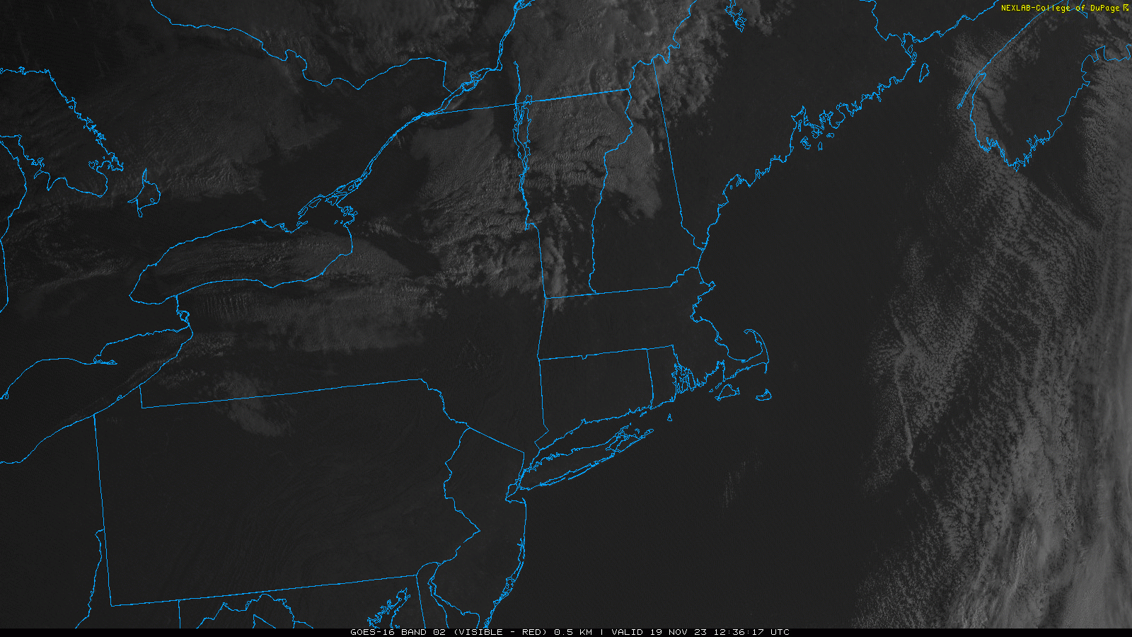
Visible satellite imagery this morning shows plenty of clear skies locally, which should hang on through most of the daylight hours. However, off to our northwest, a batch of southward moving cloud cover is evident and this region of gray skies is associated with a secondary cold front and a reinforcing shot of cold air. This boundary will cross the area this evening – perhaps accompanied by a quick sprinkle or shower – and settle south of us on Monday. Behind the front, signicantly colder air will build into New England to start the upcoming work week. Highs on Monday and Tuesday will only be in the lower to middle 40s and nighttime lows Monday night will fall well down into the 20s around much of the Cape.
Overall, dry but cold weather is expected to kick off Thanksgiving week (although a flurry can’t be ruled out on Monday), with our next shot for rain coming on Wednesday.