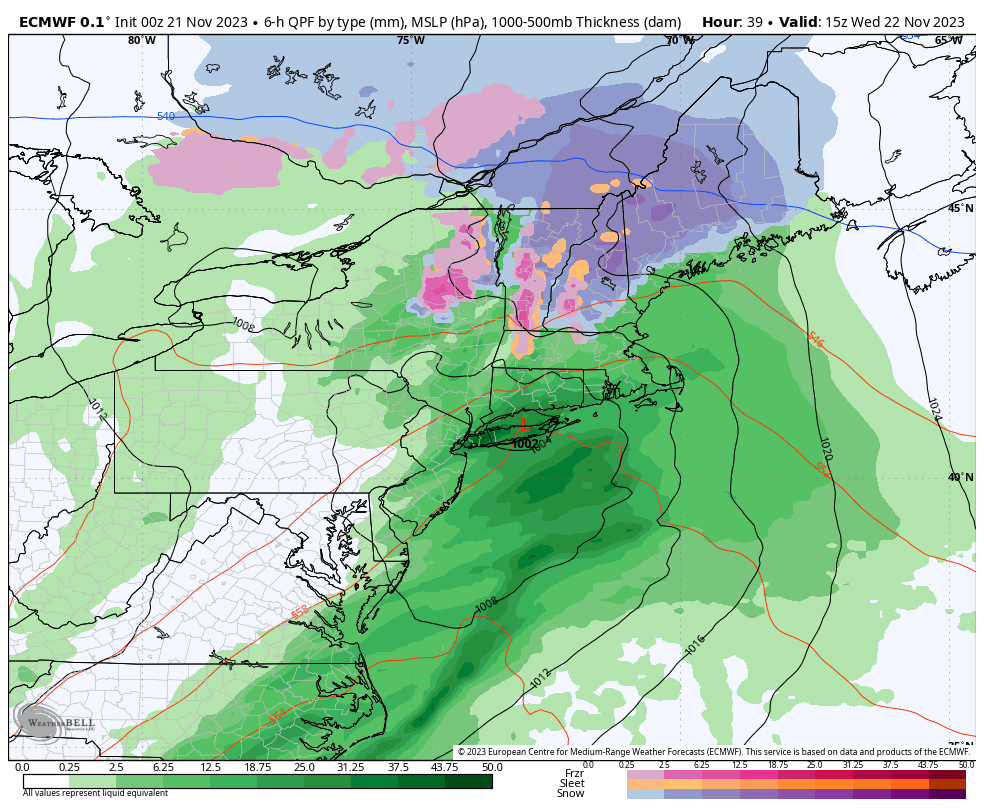
Low pressure over the Mid Mississippi River Valley will move eastward through the Ohio Valley today and approach the Northeast tonight. This weather system will cut through New England on Wednesday and push offshore Wednesday night. Along and ahead of this storm center (and its associated frontal boundaries) a large shield of precipitation will cross the Eastern United States over the next 24 hours, disrupting holiday travel plans for many.
Here on the Cape, the brunt of our ugly weather will come late tonight through the early afternoon hours on Wednesday. Expect a steady rain to develop during the nighttime hours tonight and for wet weather to continue, generally unabated, until the second half of the day on Wednesday. Upwards of one inch of precipitation is expected. Even higher totals are possible if a batch of downpours forecast to pass just south of the region ends up a bit further north. Some pockets of street flooding are possible here and there, mainly due to leaf-clogged/blocked storm drains.
In addition to a soaking rain, we’ll endure our first cold season wind event of the year. Strong southerly gales are expected, beginning very late tonight and continuing into the midday hours on Wednesday. The strongest of the wind – which will feature gusts over 50 mph at times – is likely during the late morning to early afternoon hours. A few brief power disruptions are possible.
The combination of wind and rain over a large portion of the Northeast will undoubtedly interfere with travel plans on Wednesday – which is one of the busiest travel days of the year. Factor in some extra time to your itinerary.