This has been a long stretch of murky weather.
Seemingly endless amounts of cloud cover, rain, fog and mist have impacted the area this week. When it hasn’t been raining, thick fog and patchy drizzle and mist have been common. The last truly sunny day was Monday – Christmas Day.
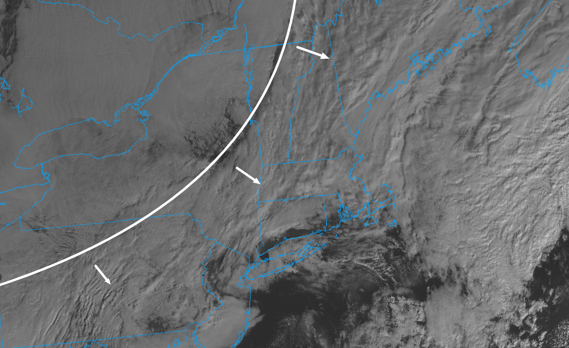
This all comes courtesy of a stagnant weather pattern caused by a large cut-off low pressure system (more typical of spring) that’s very slowly moved across the country over the last week. This system has been separated from the main steering currents and thus taking its sweet time getting out of the area. Thankfully, the end of this pattern is near.
One more lobe of moisture is rotating through the area today, keeping clouds and scattered showers in the forecast. However, drier air is working south and eastward across the Great Lakes and Northeast and will finally build into the region tonight. So after one last day of murky-ish conditions today, we can finally expect some clearing skies tonight and a much better day tomorrow.

