After a pretty miserable weather day on Sunday, one would hope that nicer weather would be in store for our Monday. Unfortunately, such is not the case. Yesterday’s low pressure center is dragging its feet in its departure and we won’t get out from under its influence until Tuesday. In fact, we may not truly clear out until Wednesday.
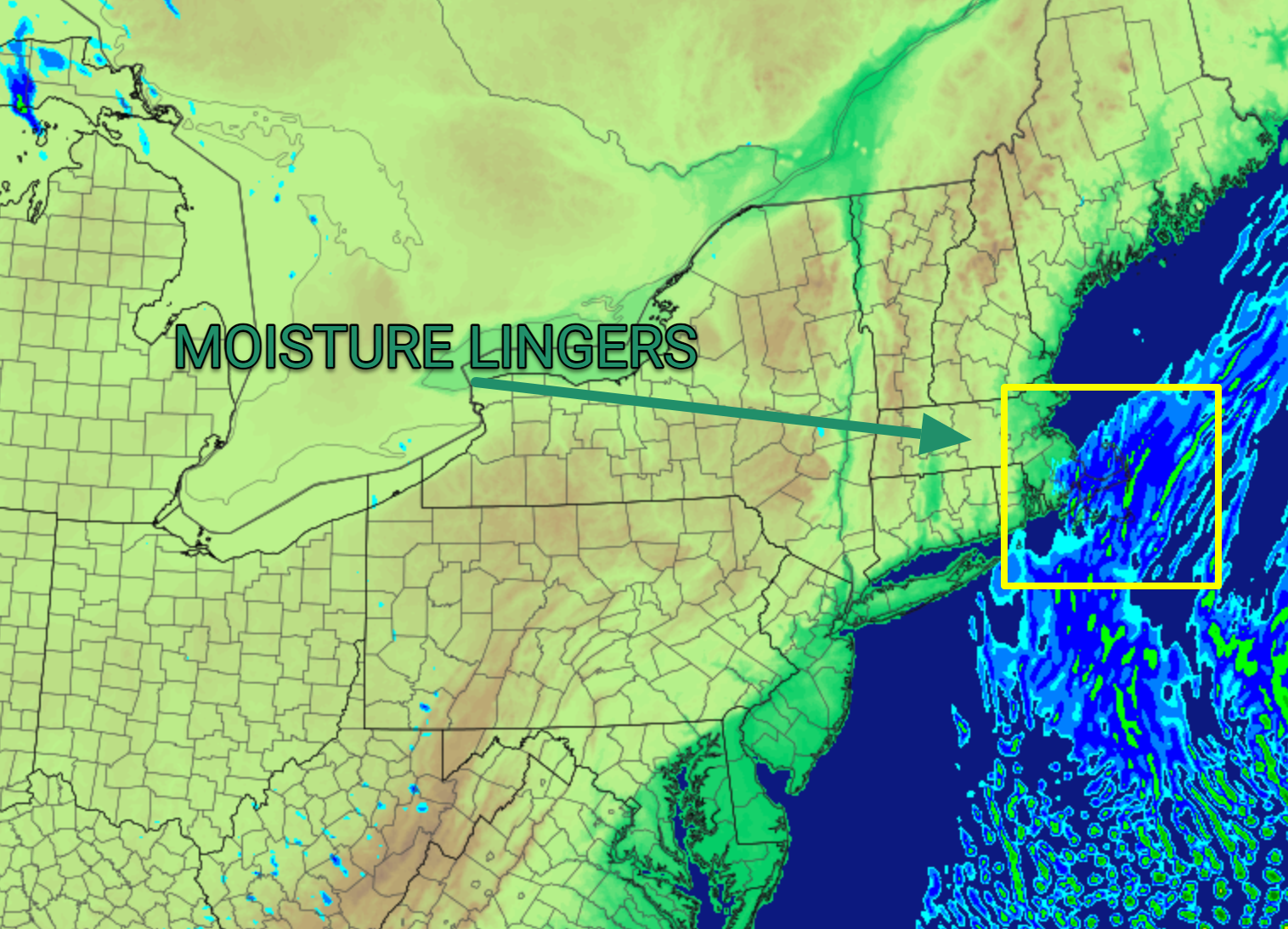
While moisture is trying to depart the region this morning, an additional piece of upper level energy supporting the surface storm will drop across the region today, enhancing precipitation just as it’s trying to head offshore this afternoon. All the while, colder air will be building southward into the area, allowing temperatures to slowly fall through the 30s and gradually allowing for a transition from light rain and mist to snow and snow flurries.
This evening, the main shield of precipitation will finally start to break apart. However, just as that’s happening, deeper cold air will build into the area. At the same time, winds will remain north and northeasterly, blowing in off the water. The result will be a continuous feed of moisture and thus areas of snow and snow flurries persisting across the Cape through the night. This same general theme will hold throughout the day tomorrow, with off and on snow showers, flurries and perhaps a few embedded heavier snow squalls.
We shouldn’t see too much in the way of accumulation during the day today as temperatures should remain above freezing through the daylight hours. However, readings will fall below freezing, and down into the 20s tonight, so any snow that falls will stick with ease overnight. With that in mind, keep an eye out for icy roads overnight tonight and into Tuesday morning.