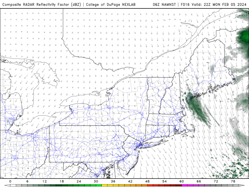
The combination of an offshore storm backing westward a bit and a cold northeasterly flow of air over the region will result in some pockets of flurries and steadier light snow around the area beginning tonight and lingering into Tuesday night.
While Monday has dawned clear, breezy and chilly, clouds are not too far off to our east and will gradually rotate westward through the day today. Model guidance shows increasing relative humidity in the lower few thousand feet of the atmosphere later in the day with a notable increase coming by sundown or shortly thereafter. With that in mind, our sunny start will gradually give way to increasing amounts of low cloudiness, initially on the Outer Cape and eventually spilling westward across the entire Cape. Skies should be cloudy by evening.
Flurries and snow showers are expected to develop after sundown and continue off and on for a good 24 hours or so. No major accumulation is expected but if some steadier bands of snow can take hold, a coating to an inch of snow could fall in some spots. With temperatures in the lower and middle 30s, road issues aren’t currently expected unless precipitation really comes down at a good clip for an extended period of time, which is not the expecation at this point.
As always with ocean effect snow, the forecast transitions to a bit of a “nowcast” as the location, intensity and duration of snow is difficult to predict.