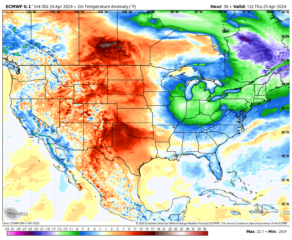
A strong cold front is making its way through the Northeast and New England today. This boundary marks the leading edge to an abnormally cold air mass for this time of year – one that has its origins north of the arctic circle.
Prior to the front’s arrival we can expect our Wednesday to feature plenty of clouds, busy southwest winds, maybe a few sprinkles or passing showers and somewhat mild air. The frontal zone will sweep offshore this afternoon and evening and behind it, winds will flip to the north and northwest, skies will clear and much colder air will rush into the area overnight tonight. By Thursday morning temperatures will be well down into the 30s with a gusty, cold wind. Highs on Thursday will struggle to get back to 50F despite plenty of strong April sunshine (the average high is 58F). Winds will diminish over the course of the day tomorrow as high pressure builds in and that will set the stage for a very cold night Thursday night, with widespread frost likely as temperatures head for the 20s and lower 30s by Friday morning.