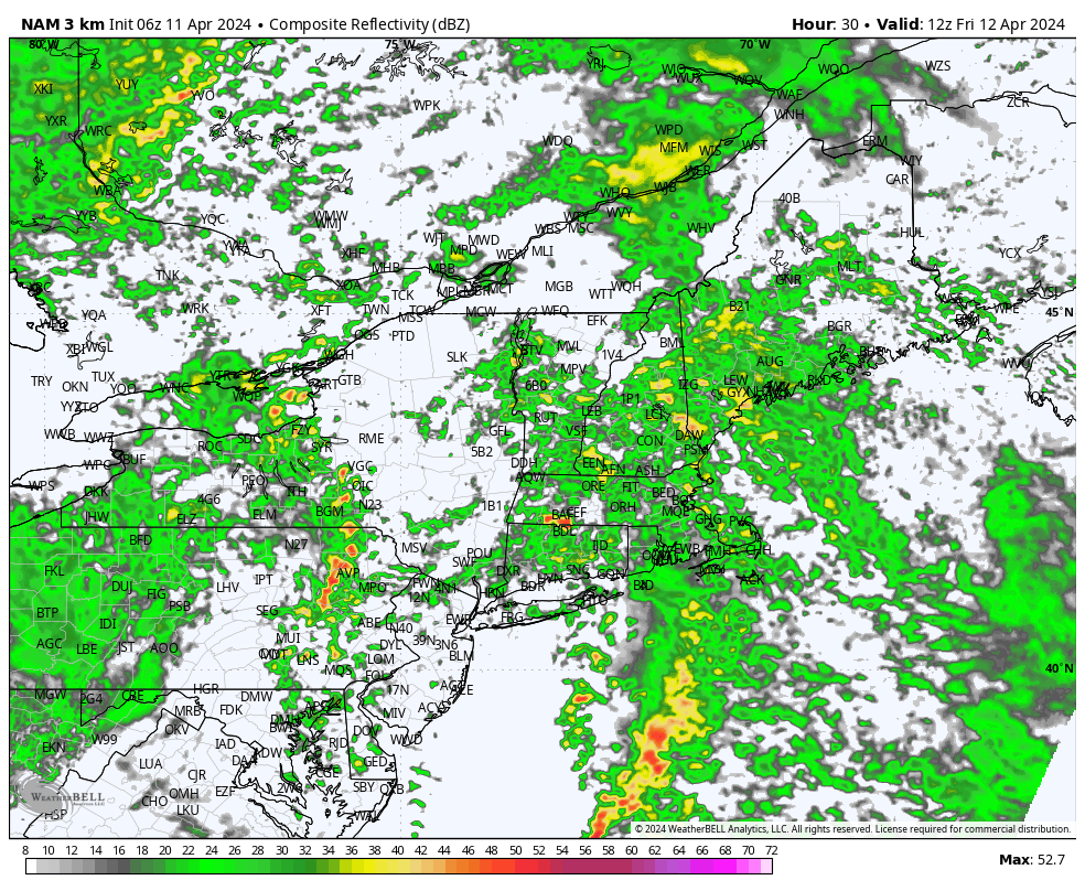
After a nice stretch of dry, milder weather to start the work week, we’ll have to endure a couple of dreary days before the weekend arrives. A large storm center over the nation’s midsection is pivoting eastward today and will pass through our region tonight and Friday. This low pressure area and its associated frontal boundaries (a warm front today and a cold front tomorrow) will bring us some unsettled weather today, tonight and Friday before things dry out Friday afternoon.
While our Thursday is looking a bit murky at times and should have a couple of scattered showers around, the main event weather-wise comes later tonight into the first half of Friday. It’s during this window that showers will transition to a wind-whipped rain with embedded downpours. Strong southerly winds will accompany the rain, with gusts over 40 mph common late tonight and Friday morning…and likely peaking near 50 mph at times during the first part of Friday. A Wind Advisory is posted for the area. Rainfall totals should average out between 1/2 and 1 inch by the time things taper down Friday afternoon.
If that weren’t enough, tides are still running astronomically high from the recent full moon and the combination of strong winds and lowering surface pressures will cause some pockets of beach erosion and minor coastal flooding at the time of high tide.

