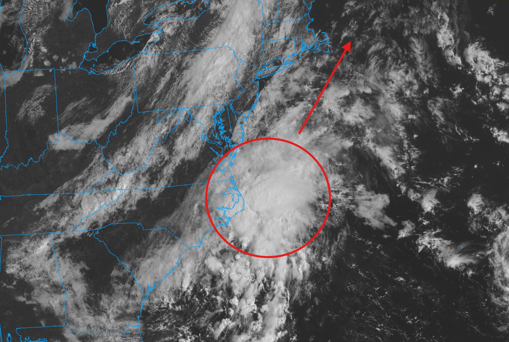
Low pressure taking shape off the Carolinas today is going to move northeastward through the day today and pass southeast of the Cape tonight and tomorrow. It’s been evident for several days that this feature’s moisture shield would pass very near to the Cape – grazing the area with at least *some* shower activity. That said, this system is loaded with tropical moisture so we’ll have to track its western edge carefully. Should it tick a hair further west (as some guidance has shown) we’ll be looking at pockets of heavy rain, maybe some thunderstorms and possibly even some areas of street flooding with 1 to 3 inches of rain. Should the brunt of the moisture remain just to our southeast, as the majority of products indicate, a few showers will spill through the area but nothing of consequence. Monitor the radar.