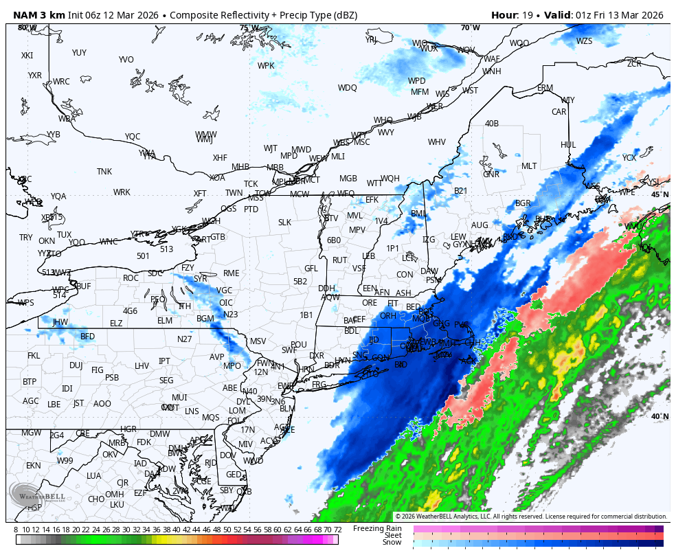
March being March. After several days of sunny and unseasonably mild weather, we’re heading back to winter later today and tonight. A cold front is cutting across the region this morning and will push offshore during the midday and early afternoon hours. On the backside of this frontal zone, much colder air is going to rush into the area on gusty west and northwest winds, with temperatures falling to the 30s late in the day (after holding in the upper 40s and lower 50s this morning). Unfortunately, a wave of moisture is going to pass through the region just after the arrival of colder air, yielding a period of rain, transitioning to snow, this evening. In fact, a couple of hours of steady moderate snow are possible through the first half of the night with a coating to an inch of snow possible. If you are headed out and about during the evening and nighttime hours, watch for slick roads and low visibility for a few hours. Things will dry out overnight and sunshine will return for Friday with chilly temperatures.