A large ridge of high pressure anchored over the eastern half of the nation is providing unseasonably warm – in many cases, record warmth – temperatures to a large portion of the nation. The core of the above normal warmth has actually been circulating through the Great Lakes and Northern New England, where temperatures have climbed into the 80s to near 90F in spots. Today will be a similarly warm day across the region.
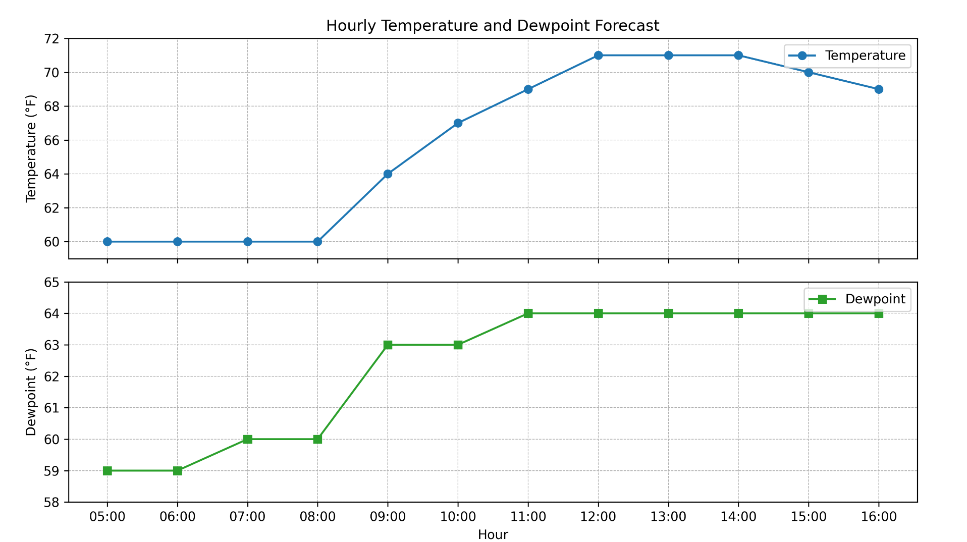
Here on the Cape, temperatures yesterday climbed into the lower and middle 70s, making for a very nice early October day. We can expect a near repeat performance today with readings again passing 70F with plenty of sunshine. The only difference in today’s weather vs yesterday will be the addition of some humidity in the air. Dewpoint values will tick upward through the day, reaching the middle 60s this afternoon, so it will actually feel a bit on the warm/humid side during the second half of the day.

