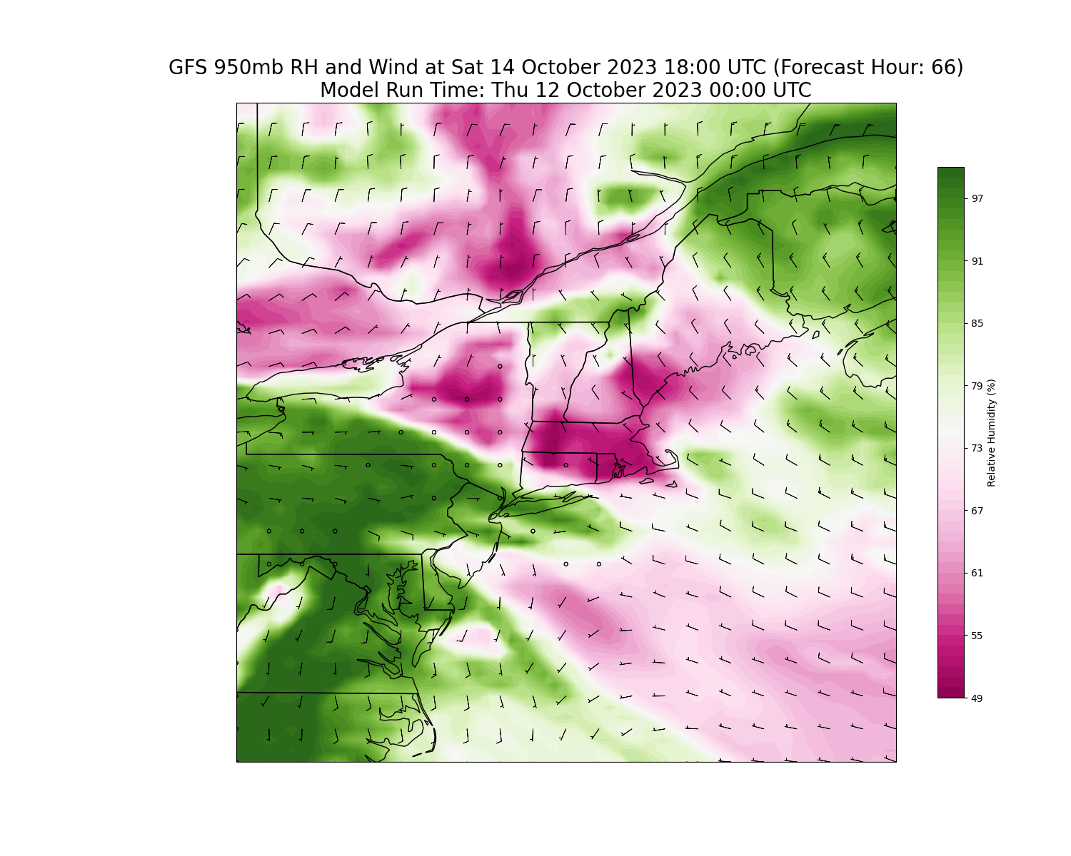
Our long stretch of rainy weekends may finally be coming to an end. But it’s a close call.
A storm system organizing over the Great Plains will slide eastward today and tomorrow, approaching the Mid-Atlantic and New England just in time for the weekend. However, for a change, this weather system is going to run into a bit of an atmospheric road block and will have a tough time pushing into our region, especially on Saturday.
As a result of the atmospheric blocking, dry air will tend to hold on over New England and moisture is likely to get shunted to our south. Should the pattern hold, which seems likely at this point, we should manage to squeeze in a dry day on Saturday with filtered sunshine losing out to cloud cover over the course of the day.
You can see on the image above, the pink shading – indicative of low relative humidty / dry air – and offshore flow of air holding strong over the region during the day on Saturday. We’ll take it.

