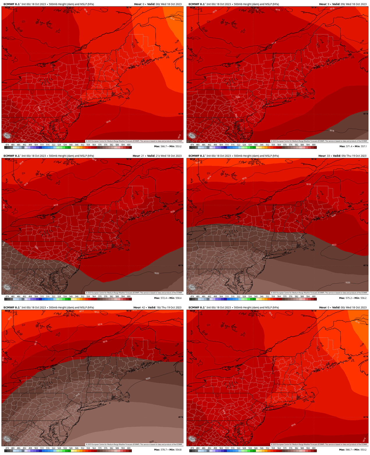
The upper level storm center and associated unsettled weather that’s been stuck nearby for the last several days is finally starting to vacate the region. This should yield some milder weather for the second half of the week.
While the weather hasn’t been terrible over the last couple of days, off and on showers have kept things damp. And of course some of the rain, albeit usually brief, has been quite heavy…not fun for working outside etc.
With the upper level low pulling away from the Northeast, upper air heights will rise over the course of the day today and into Thursday, decreasing the threat for shower activity and increasing the likelihood for sunshine. Tomorrow is looking like the pick of the week with partly to mostly sunny skies throughout the day and temperatures well into the 60s.
The animation above is a plot of upper air heights (which are a function of temperature and pressure). Notice the lighter red shades are “lifting out” and being replaced by the darker reds and browns, illustrating the arrival of some upper level ridging.

