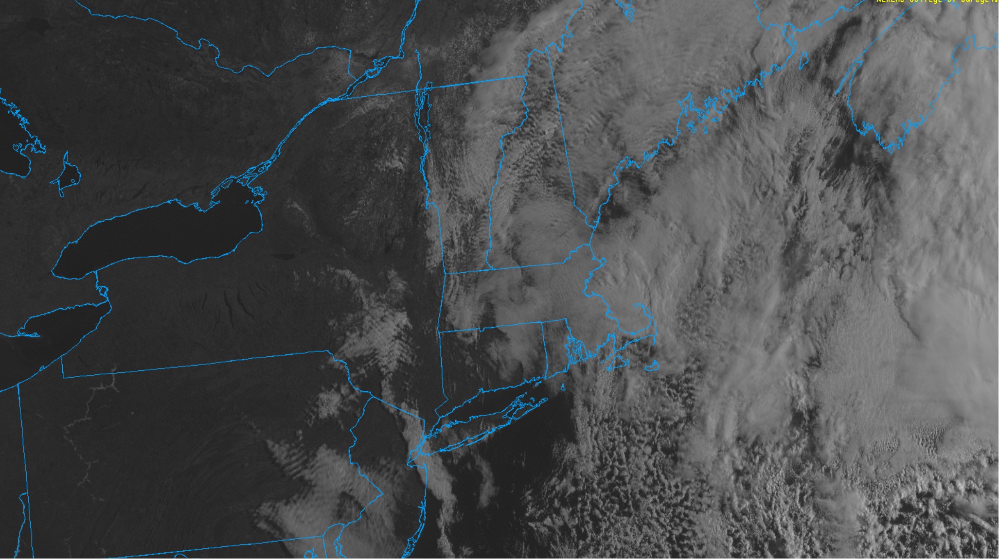
One last day of ugly early Spring weather.
Last week’s storm is still spinning in place to our east, throwing plenty of clouds and showers into the region. In addition to the dreary conditions, we’ve had to endure a persistent cold, gusty northerly wind this weekend which has held temperatures around the 40F mark.
Thankfully, the weather pattern is starting to break down and the stubborn low pressure center is beginning to shift south and eastward. So while a good chunk of our Sunday is looking rather blah, much better weather is in the cards for the next couple of days.
Note on the visible satellite image the expansive area of clear skies off to our north and west…that clearing will shift into our area late today and tonight and remain in place through Monday and Tuesday. Temperatures will respond accordingly, jumping well into the 50s tomorrow – making it feel dramatically warmer than the last couple of days.

