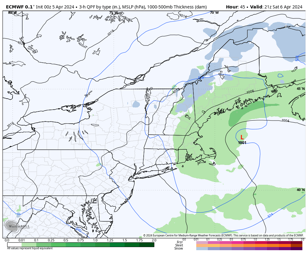
We’re getting a short respite from the nasty weather as Wednesday’s storm has lifted north of the area, taking its precipitation shield with it, confining rain and snow to central and northern parts of New England for the time being (Friday morning). Unfortunately, the system itself is stuck in a blocked weather pattern and will actually begin to rotate southward back through the region over the course of the day today and into the weekend. As such, while we’ve started Friday with fair weather, clouds will gradually return today and precipitation won’t be too far behind it. As low pressure begins to drift southward from Maine clouds and showers will overspread the area and will be slow to depart. It appears the worst of the weather will come Friday night through Saturday night as showers, mist, drizzle and gusty north winds combine with chilly temperatures to make for some rather nasty conditions. To add insult to injury, the atmosphere aloft is quite cold so don’t be shocked to see some snowflakes mix in with the shower activity from time to time. Gradual improvement is expected through the daytime hours on Sunday.