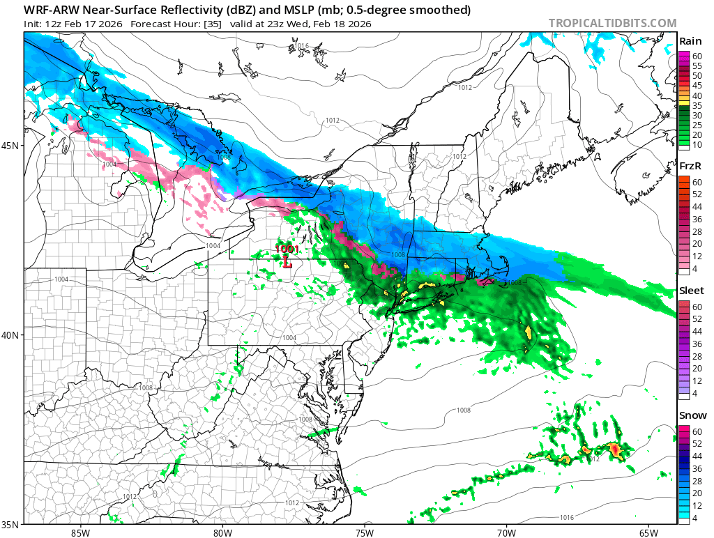
An upper level disturbance and its accompanying wave of low pressure will push through the area during Wednesday and Wednesday night, spreading a shield of light to moderate precipitation across the region. Initially, air temperatures will be relatively mild, supporting mostly liquid precipitation. However, as Wednesday afternoon rolls on, the atmosphere will cool a bit and precipitation is likely to go over to mixed rain, sleet and snow and then snow late in the day and into the evening hours. This shouldn’t be a major winter weather event but a slushy coating to an inch of snow is possible.