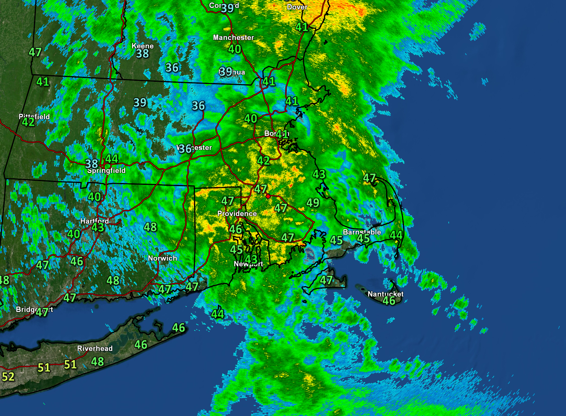
A strong low pressure center lifting through the Great Lakes today will drag a cold front across the Eastern U.S. over the next 12 to 18 hours. Out ahead of the front, a widespread area of heavy rain, (severe) thunderstorms and strong winds are anticipated from the Deep South to New England. That frontal zone will cross our area very late tonight / first thing Tuesday morning and produce periods of rain and some strong gusty southerly winds. The worst of the weather comes tonight when downpours (maybe a rumble of thunder) pass through the region and accompany southerly winds gusting 40 to 60 mph. The National Weather Service has posted a Flood Watch and a High Wind Warning. This morning’s radar image (shown above) shows the initial round of wet weather moving into the area.