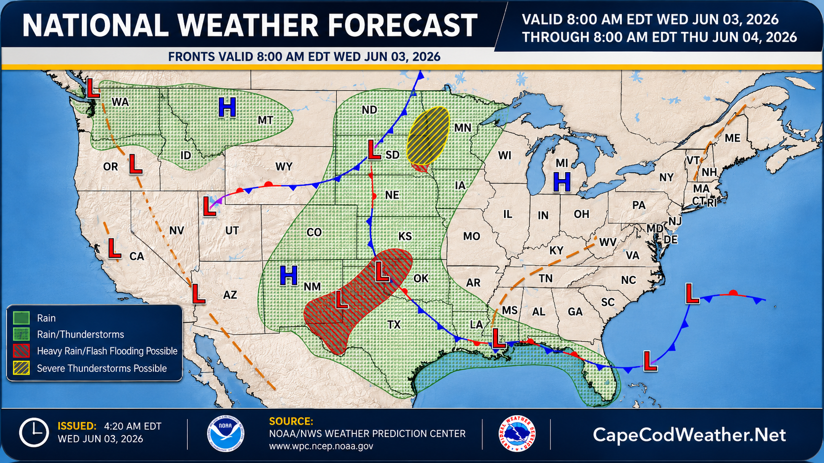
An expansive upper level ridge of high pressure is taking control of our weather and will remain the dominant feature into the start of the weekend. Beneath this upper air ridge, fair weather is expected for the next several days and temperatures will turn noticeably warmer. Highs today will be in the 70s across the area – maybe holding in the upper 60s right along the water’s edge on the south side of the Cape from Chatham to Hyannisport to Woods Hole. We should tack on a few more degrees tomorrow (Thursday) and head even a bit warmer than that for Friday and Saturday when highs should approach or pass 80F for a lot of the area. Our next shot at meaningful precipitation isn’t expected until Saturday night and Sunday when a frontal zone drops southward into the region. You can see on NOAA’s daily surface map for today, all the weather action is across the nation’s midsection, with fair weather over much of the eastern third of the country.