A slow-moving upper level low pressure center (associated with the same storm system that moved through the area this weekend) located well to our north is spinning in place and sending spokes of energy across New England. Thankfully, the atmosphere has dried out considerably and the stronger energy will remain to our north and west, meaning fair weather is expected overall for the next couple of days.
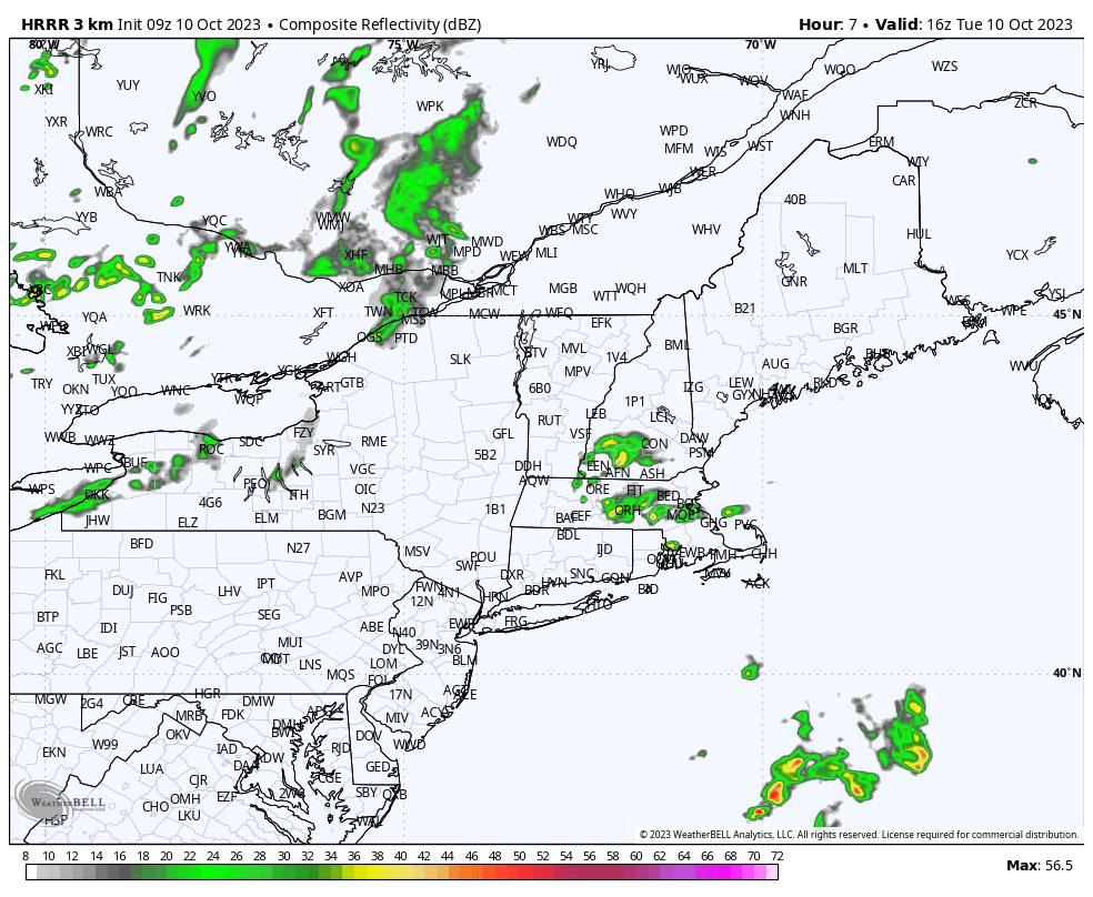
That said, one such pocket of upper level energy will cross the region today and may be enough to spark a sprinkle or shower across the region. If anything does bubble up, it is likely to be short-lived and isolated in nature. The image above is a simulated radar for midday. Notice a few showers across eastern parts of Southern New England.
Outside of that, expect a mix of sunshine/blue sky and passing cloud cover today with temperatures recovering into the 60s.