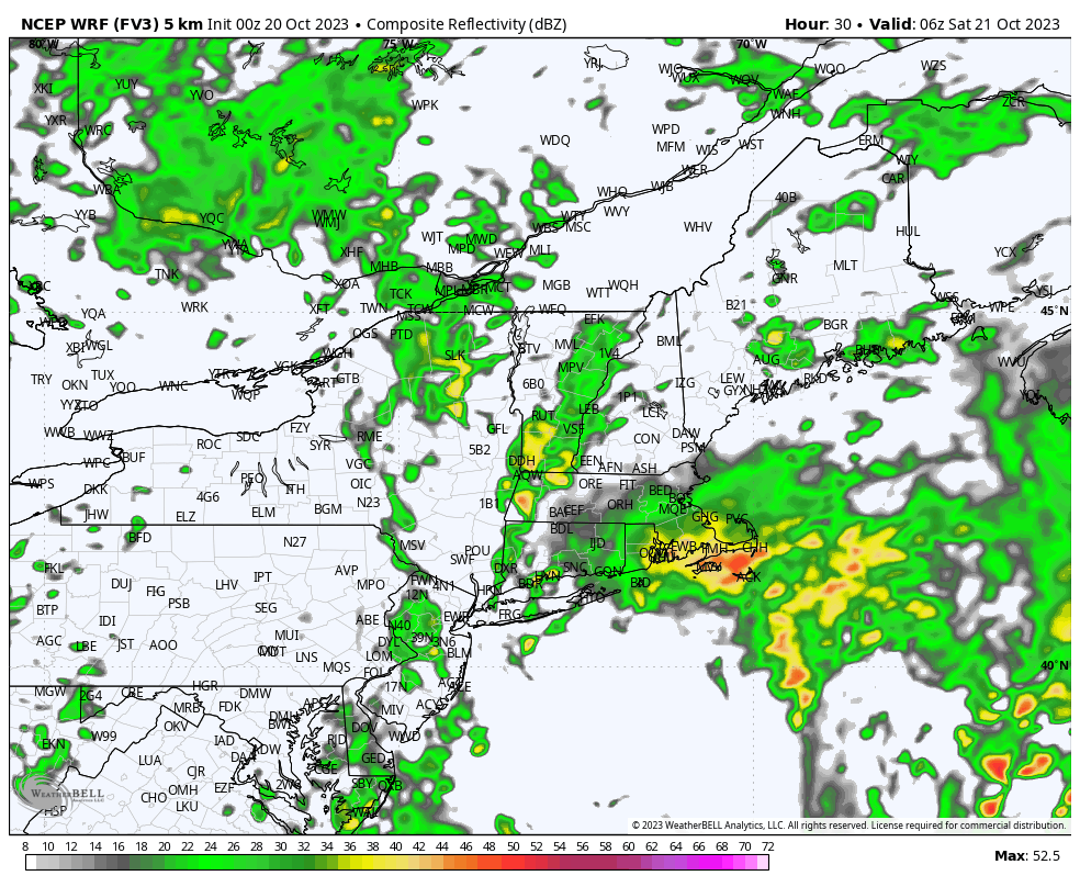
A pocket of upper level energy digging southward out of the Great Lakes is spawning a storm system over the eastern half of the nation today. This system will strengthen over the next 24 hours as it moves into and through New England and lifts to our north and east Saturday night and Sunday. By the time Sunday morning rolls around, a rather strong storm – on the order of 980 mb (28.94″) – will be spinning to our northeast.
In terms of sensible weather, what this all means is the return of showers to the area along with a period of gusty winds and ultimately some chilly weather to close out the weekend. Right now, it looks as the most of the rainfall will come in two waves – one overnight tonight and a second during the midday to early afternoon hours of Saturday.
On the backside of the storm, gusty west winds will overtake the area Saturday night and continue throughout the day on Sunday. That, combined with temperatures in the 50s and a fair amount of cloud cover will yield a chilly Fall look and fell to Sunday.