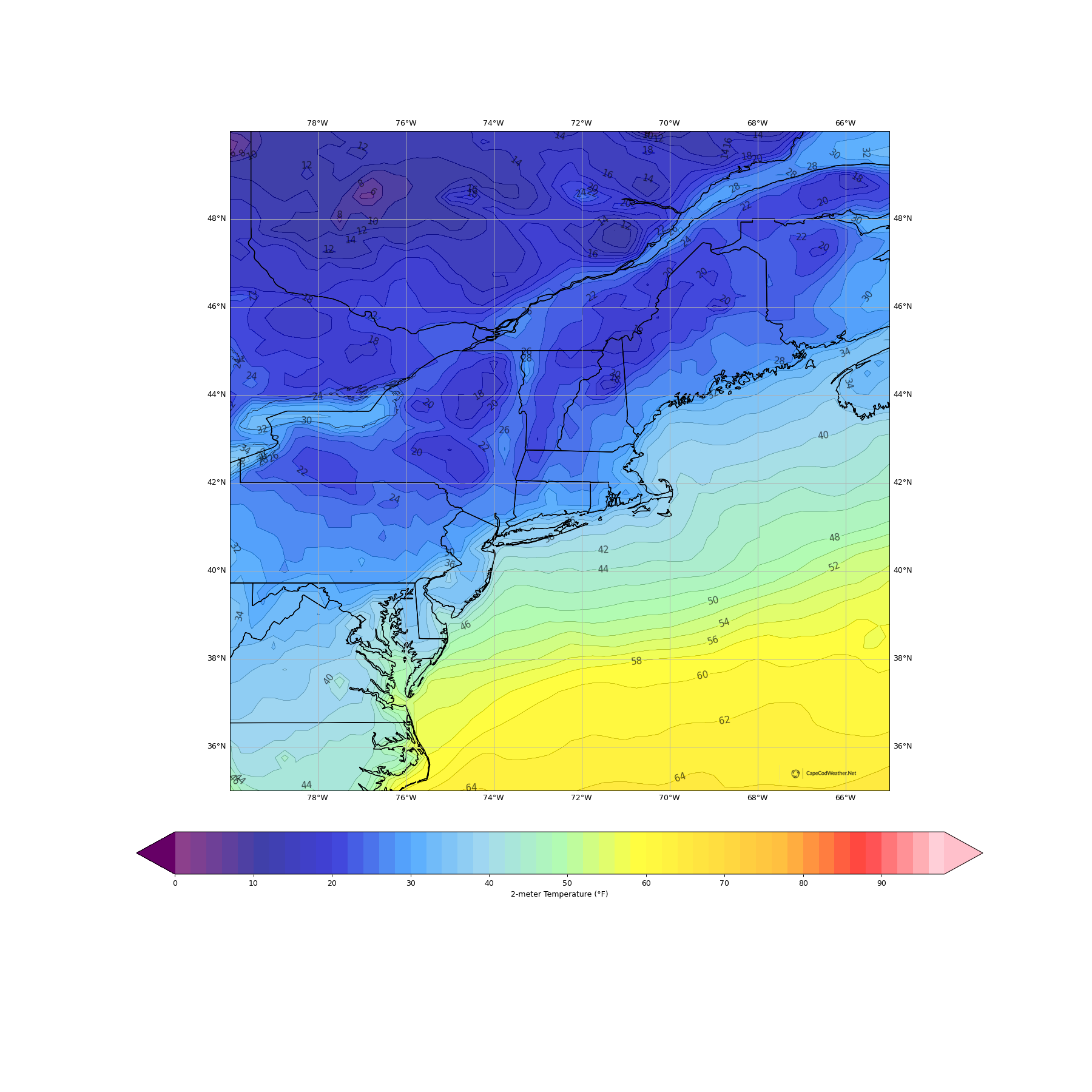
A secondary cold front pushed through New England on Sunday, crossing over the Cape during the evening hours (the frontal zone was accompanied by a couple of sprinkles and light rain showers). Behind the front, winds flipped to the north and a reinforcing surge of cold air pushed southward into the region. This cold air will hang over New England through the first part of the work week, ensuring us a chilly couple of days.
We’ve started our Monday with clear to partly cloudy skies (ocean effect cloud cover moving on to parts of the Lower andd Outer Cape) and temperatures mostly in the 35 to 40F range. With cold air continuing to drain into the region, readings won’t move a whole lot today. Expect afternoon temperatures within a couple of degrees of 40F. On the Mid, Lower and Outer Cape, bands of ocean effect cloud cover will move in and out through the day, and it’s not out of the question that one or two of these clouds drops a flurry.
Looking ahead to Wednesday – the traditional busy travel day prior to Thanksgiving – things look quite stormy. Expect a wind-driven rain through a good chunk of the day. There’s also the potential for a few hours of strong to damaging wind gusts. More on that later.

