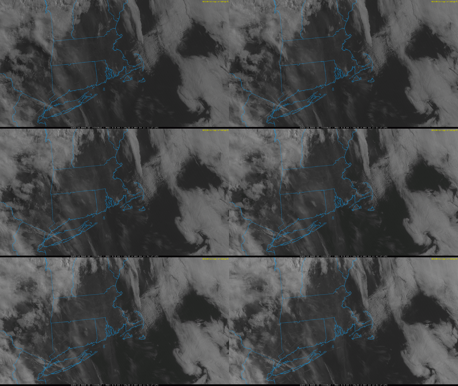
It’s been a struggle this week. While the weather hasn’t been terrible…it certainly hasn’t been the best stretch of spring time ever. An onshore breeze has kept temperatures rather chilly and also resulted in an abundance of cloud cover (though we did finally bust out of it yesterday). Temperatures really haven’t moved all that much with the wind coming in off the ocean and that theme will continue today. High temperatures at Hyannis this week have been: 55F, 63F, 54F, 55F, 56F, 53F – and today we should top out in that 50F to 55F range yet again. You can see on the visible satellite image the low level cloud covering back in off the ocean, indicative of the onshore winds here at the surface. Unfortunately, model guidance suggests that low level moisture will deepen over the course of the day today, so cloud cover is expected to be on the increase as the day goes on.

