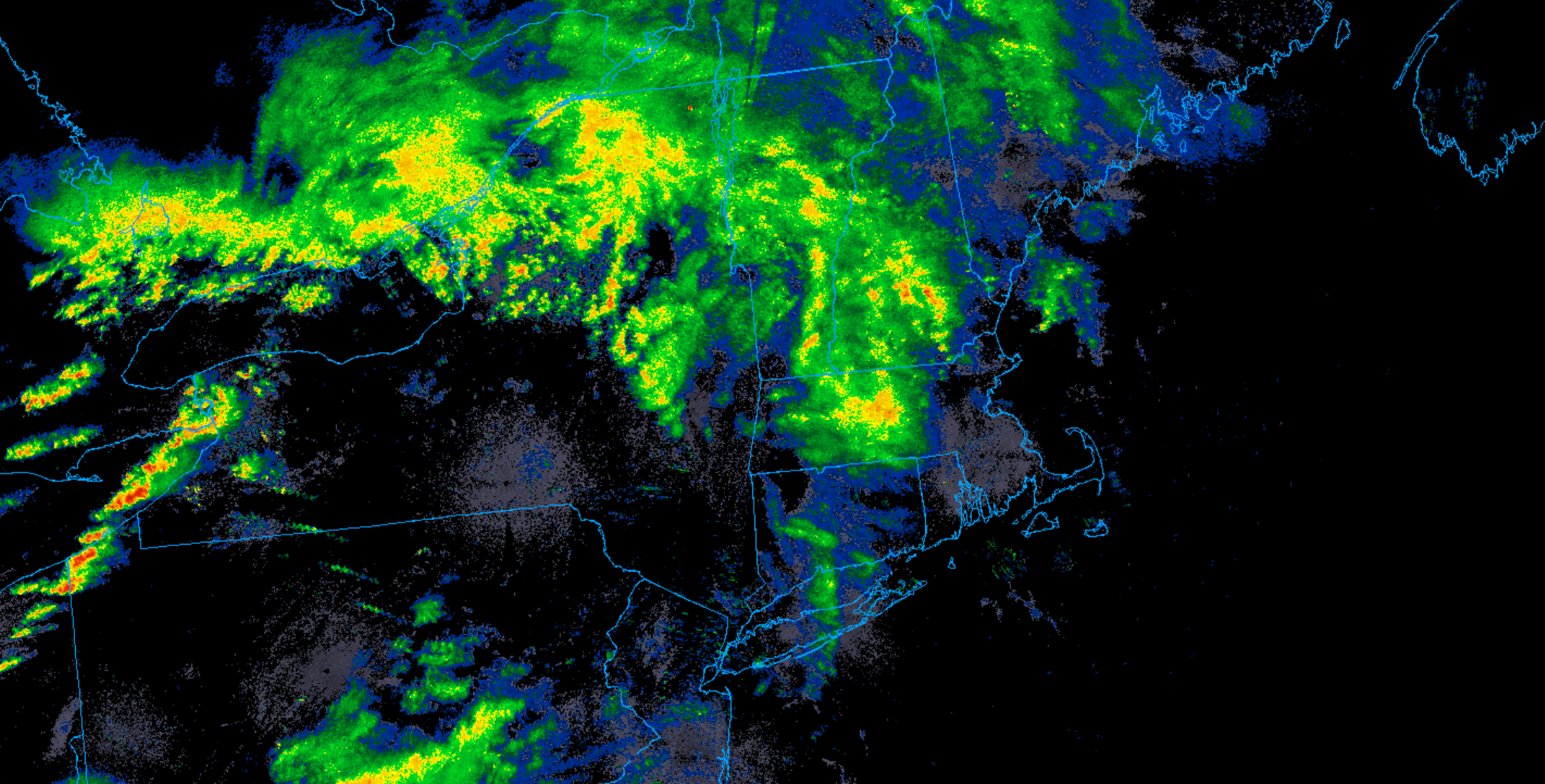
Fairly strong / deep low pressure is passing to our north and west today, dragging a series of frontal zones across the Northeast and New England. As a result, there is an expansive area of cloud cover across the Mid-Atlantic and New England this morning and a large area of showers and embedded thunderstorms. Unfortunately – from a we-need-the-rain-perspective – nearly all of that wet weather is going to bypass the Cape, with the brunt of the meaningful rainfall passing through central and northern parts of New England. Locally, just a sprinkle or short-lived shower is anticipated over the course of Thursday and Thursday night. The main weather story for us will be a developing, gusty south wind during the afternoon hours. As the pressure gradient tightens in response to that low pressure area passing by the region, southerly winds will increase over the course of the day. Gusts to 15 to 25 mph should be common by midday, with gusts of 30 to 40 mph likely at times through the afternoon and early evening. Gale Warnings are posted for the coastal waters – use caution of you area headed out on the water, especially during the second half of the day.