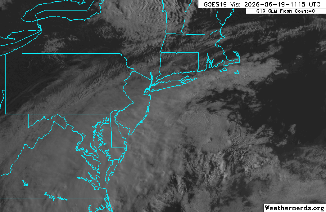
A cold front cut through the area Thursday and Thursday night and has since pushed offshore to our south and east. Behind that front, dry westerly winds have taken hold and those offshore winds are setting us up for a nice end to the work week and start to the weekend. Dew point values, which had climbed well into the 60s Thursday afternoon, have fallen back into the lower 50s and will hold in the 50s through the day today (and through most of the weekend as well), creating a noticeably more comfortable feel to the air. That, plus a fresh westerly wind and temperatures in the 70s will make for a fairly pleasant start to the holiday weekend. The only fly-in-the-ointment is some lingering cloud cover from yesterday’s frontal zone (and a subsequent wave of low pressure on the southern end of that) hanging around to our south, which will tend to dim/block the sun at times through at least the midday hours. You can see that area of cloud cover nicely on visible satellite imagery this morning.