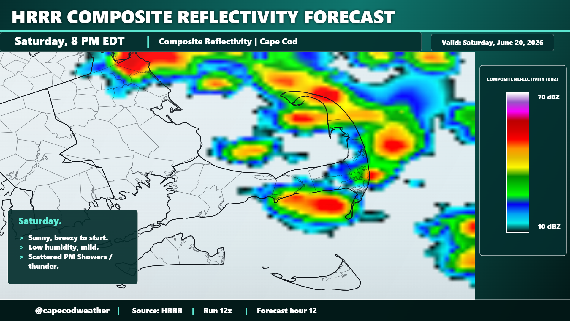
The combination of cold air aloft, some energy rotating across the northeast associated with an upper level low pressure center, and daytime heating with the strong June sunshine will be enough to trigger some showers and thunderstorms around the area later in the day today and into the evening hours. So despite Saturday morning’s dry air / deep blue sky / sunshine…expect clouds to begin to bubble up and fill the sky as we move into the early afternoon hours and for those clouds to eventually grow enough to yield some passing showers around the area late in the day through sundown. A few embedded downpours, some gusty winds and a thunderstorm or two should be scattered about parts of the area – but a widespread, Cape-wide, soaking rain is not expected (we may get our first of those in quite a while come Monday/Tuesday). Monitor the radar through the afternoon and evening.