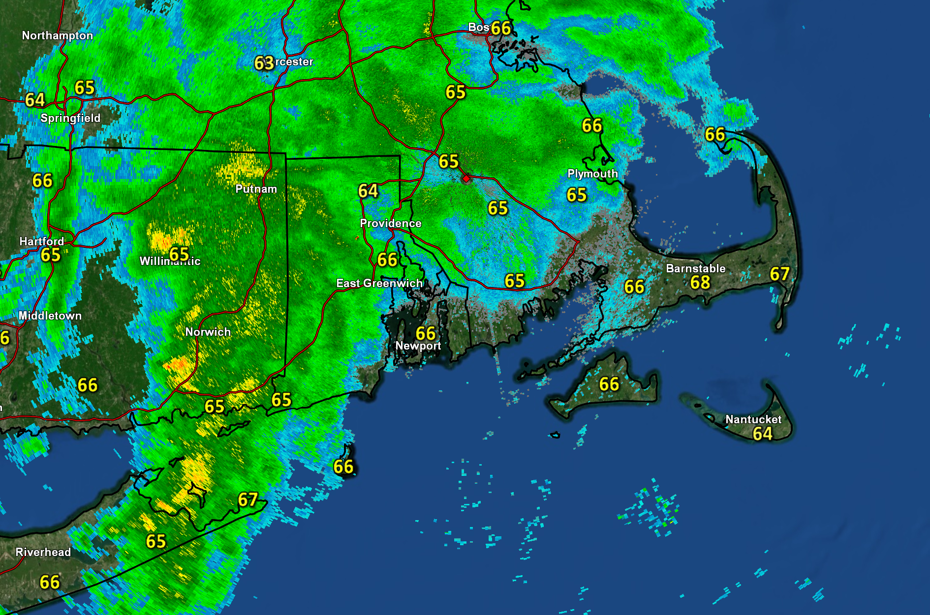
A couple of frontal zones are working their way across the area today bringing us a bit of unsettled weather to close out the work week. Radar and surface observations Friday morning showed an area of showers and embedded downpours moving eastward across Southern New England. While this activity is likely to weaken as it presses toward the Cape over the course of the morning, we should still see a period of damp weather during the mid-morning to midday window. If we’re lucky, a few spots will squeeze out a meaningful downpour or a short-lived period of steady rain. Behind the showers, some partial clearing is expected for the second half of the day. It’ll remain kind of muggy into the afternoon hours as dew point values hold in the 60s. A second frontal zone will move through the area during the evening hours and that feature could spawn an additional shower or t-storm – though coverage looks isolated. Track the showers on the local radar.