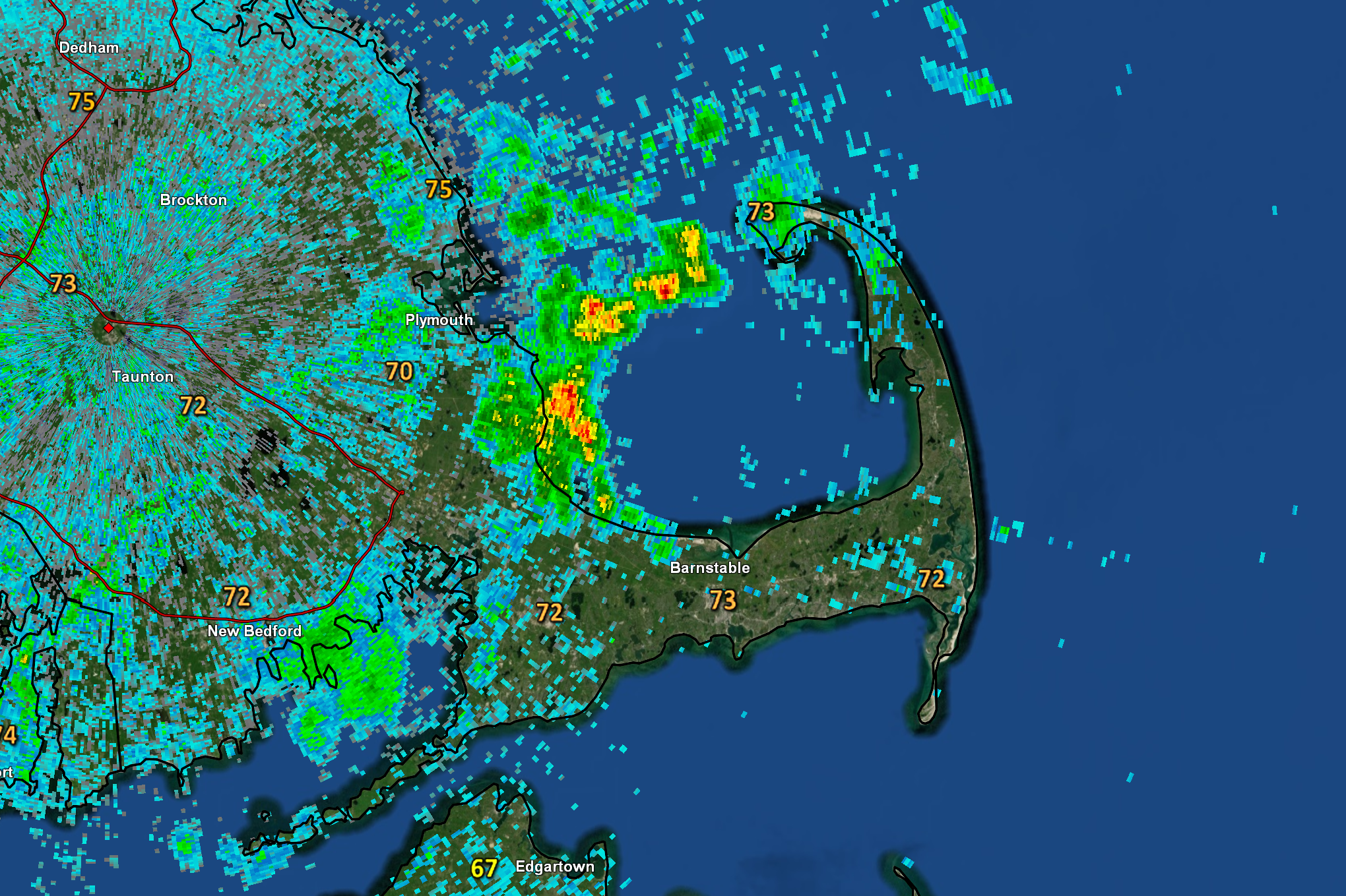
Warm and humid air remains in place over the area today. Temperatures in the lower 70s this morning (starting the day not far from the average high for this time of year) will climb to the upper 70s and lower 80s this afternoon with dew point values holding in the 60s to lower 70s throughout most of the day – creating a similar feel to Thursday’s weather. However, radar and satellite imagery show a batch of cloud cover crossing Southern New England this morning with a few spot showers throughout the region. Consequently, a passing shower or downpour is possible through the morning hours before improving conditions take hold during the second half of the day. A “cold front” will eventually cross the area tonight, turning muggy southwest winds to the west and northwest and setting us for a very warm but less humid weekend.