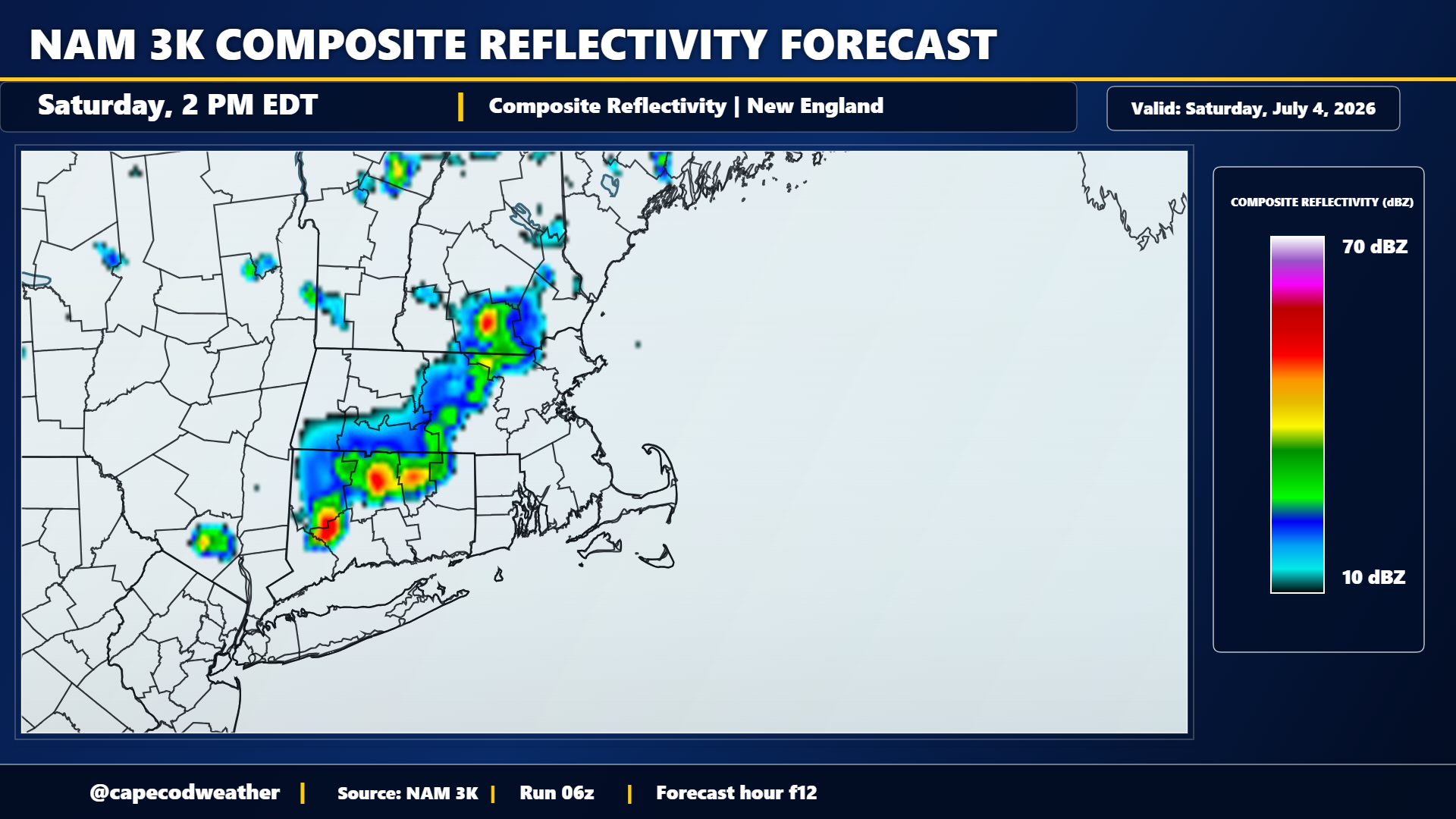
Saturday will be the last day of high heat and humidity around the area for at least the next several days. An offshore wind and a very warm start (looks like Hyannis only made it down to 79F for an overnight low!) will bump temperatures quickly through the 80s this morning and into the lower 90s by midday. If you’re headed out for parades and other 4th of July festivities this morning, expect it to turn uncomfortably hot by mid-morning, especially in the direct sun. A cold front will approach our area later in the day and pass through the region tonight. That front is likely to set off some scattered showers and thunderstorms as it passes through New England (simulated radar image above) and one or two of those may impact our area during the late afternoon, evening and nighttime hours.