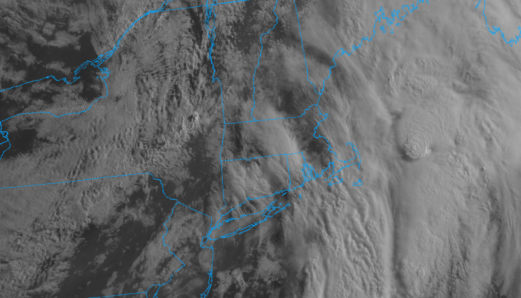
Heavy thunderstorms trained over the area last night, producing 1 to 3 inches of rain around most of the Cape. Pockets of street flooding were common and some gusty winds moved through at times. Several lightning strikes occurred around the region and the power flipped off and on at times. Plenty of stormy weather. The good news is the worst of the system has shifted offshore and improving conditions are taking hold. It originally appeared as though clouds and showers could linger throughout the day today but the heaviest and most concentrated area of showers and thunderstorms are now east of the area and there’s only a few lingering patches of shower activity around the Northeast to contend with. With that in mind, we should see some breaks / holes in the overcast develop this morning and see some pockets of blue sky and sunshine today. A shower or isolated thunderstorm can’t be removed from the forecast but overall it’s not looking too terrible (though breezy and very muggy). You can see on this morning’s visible satellite imagery that the thickest and most expansive area of cloud cover has pushed to our east.