While Tuesday’s weather wasn’t terrible, it certainly turned out worse than expected as numerous showers and downpours passed over the region throughout the midday and afternoon hours. While the sun often emerged between the episodes of wet weather, it was far more unsettled than anticipated.
Today, thankfully, is looking like a nicer day around the area. While cloud cover will move through the region at times, the overall trend for the day should be toward increasing amounts of sunshine and temperatures near or slightly above the average for the date (65F). Similarly mild temperatures are expected tomorrow before a cold front passes throught the area and knocks readings back several degrees to close out the work week.
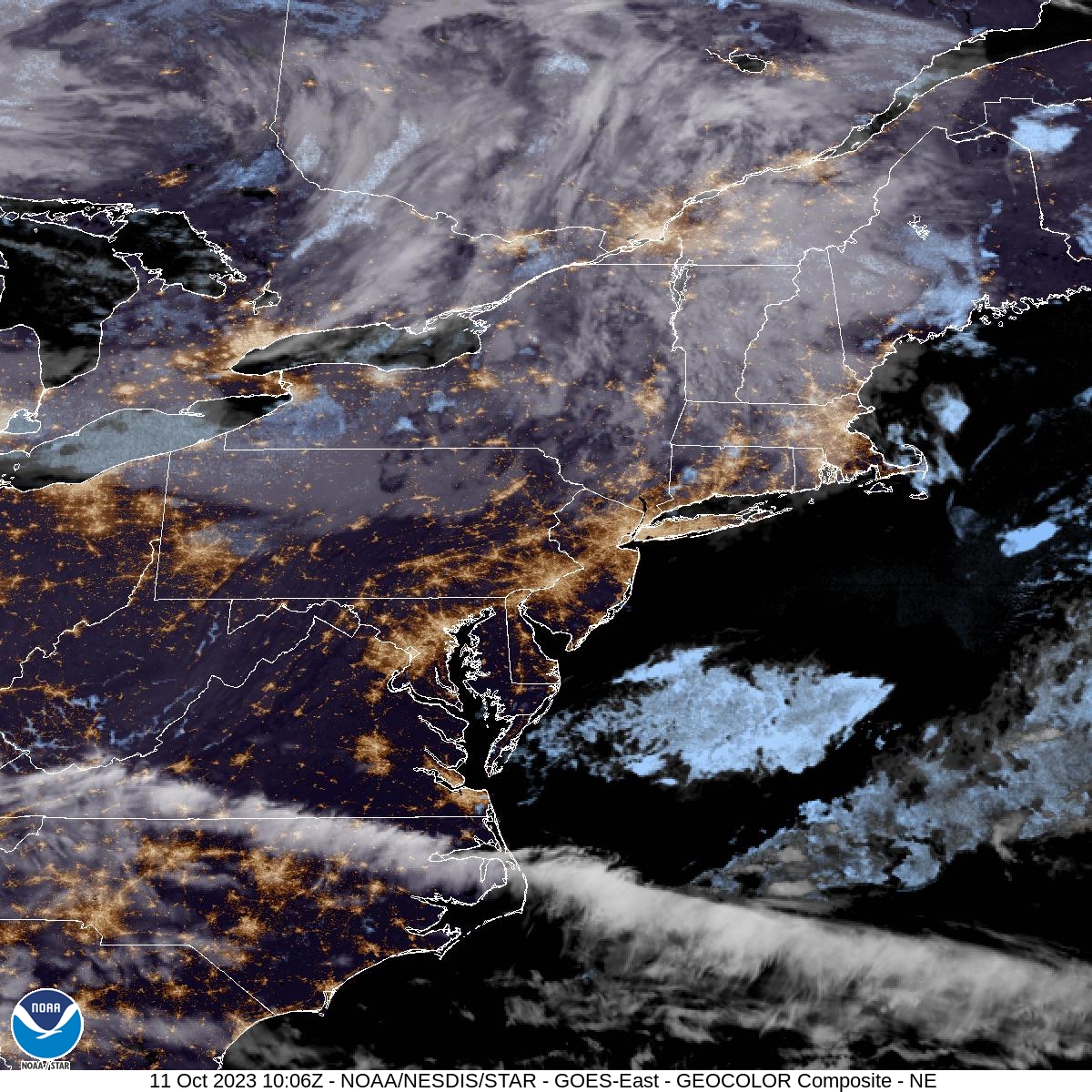
You can make out the messy mixture of cloud cover and clear skies across the region on this morning’s satellite imagery (above).

