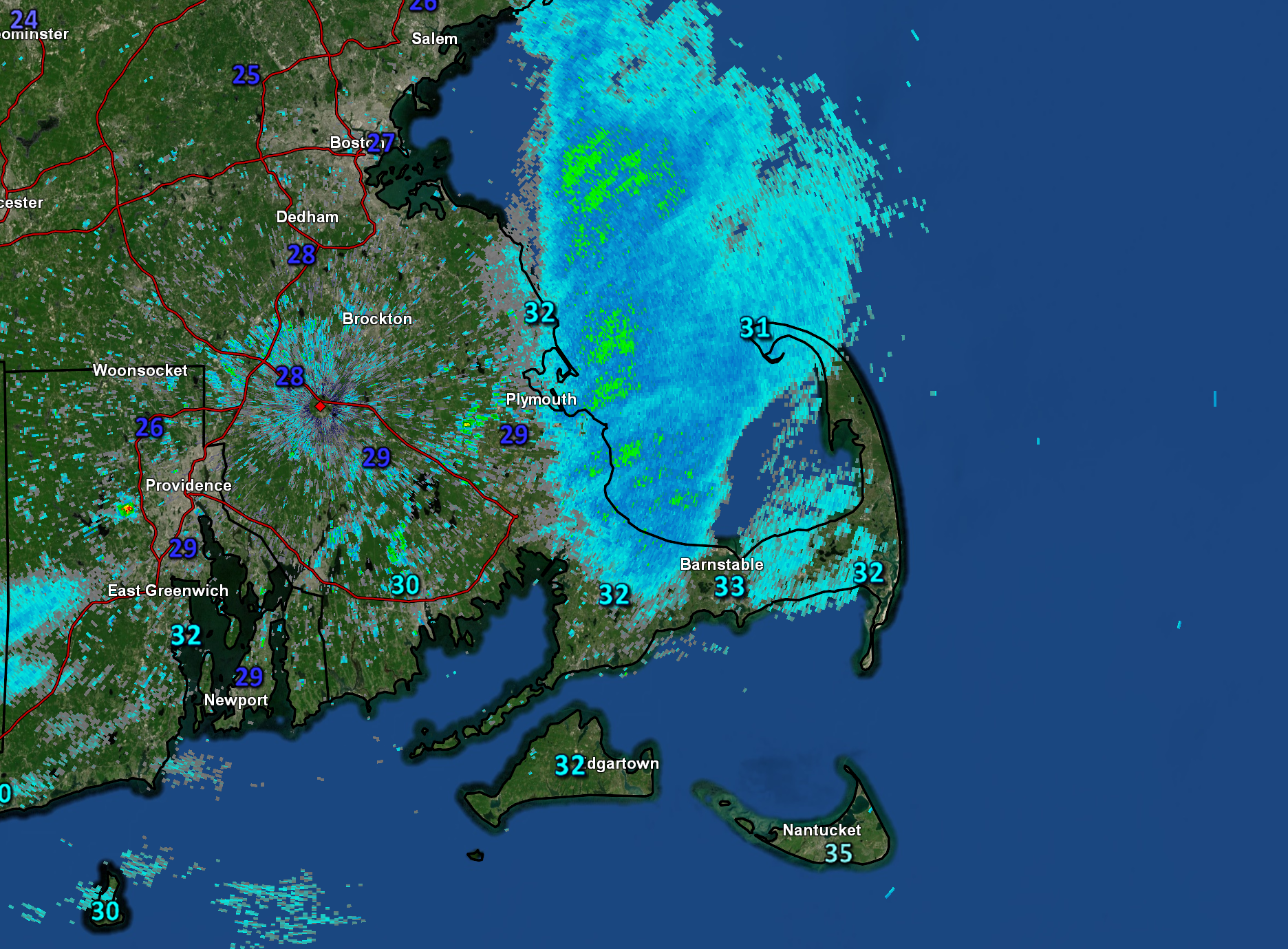
A cold front cut across the area Thursday night and Friday morning, setting us up for a chilly, winter-like weekend. Temperatures ticked downward through the 40s during the day on Friday and fell to the upper 20s and lower 30s Friday night. With the cold deepening over the region today, readings will struggle to climb through the daylight hours, with highs only in the 35 to 40F range. For perspective, the average high for the end of March is close to 50F. In addition to the cold, a few passing flurries and snow showers can’t be ruled out during the first half of Saturday, adding to the annoyance. Skies will clear out tonight and that, combined with light winds, means temperatures will fall well down into the 20s across the Cape, with a few neighborhoods potentially dipping into the upper 10s by first thing Sunday morning. Winds will gradually swing around to the west and southwest on Sunday, allowing milder air to slowly return to the area. Saturday morning’s temperature and radar analysis shows the chilly readings and passing snow flurries.